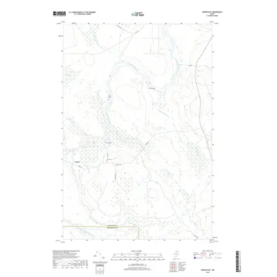
2018 Map of Oxbow East
USGS Topo · Published 2018About this map
The Aroostook River winds through this Maine landscape, creating distinctive landforms such as The Oxbow and the marshy reaches of Seven Islands. Near the settlement of Oxbow, the river is joined by local tributaries including Tuttle Brook and School Brook, while the southern portion of the map is defined by the Umcolcus Stream and its West Branch. The terrain reflects a transition from river bottoms to upland ridges like Yerxa Ridge. Local history is anchored near the town center by Willard Cem and Oxbow Cem, situated along River RD and Aiken Brook Rd. The map also captures the remote hydrology of the region, from the Otter Brook Bog to the turbulent waters of Shephard Rips, illustrating the complex water network that historically supported the regional timber and sporting economies at the border of Aroostook Co and Penobscot Co.
Find a feature on this map
25 named features on this map. Tap any name to fly to it.
Don’t see what you’re looking for? This feature index may not catch every label — zoom into the map to look around manually.
Map Details
Editions of this 2018 Oxbow East Map
This is the sole edition of this map. No revisions or reprints were ever made.
Other maps of this area

1930 · Greenlaw
USGS Topo · 1:48,000

1931 · Ashland
USGS Topo · 1:48,000

1933 · Greenlaw
USGS Topo · 1:62,500

1934 · Ashland
USGS Topo · 1:62,500

1940 · Oxbow
USGS Topo · 1:62,500

1942 · Oxbow
USGS Topo · 1:62,500

1953 · Ashland
USGS Topo · 1:62,500

1954 · Grand Lake Seboeis
USGS Topo · 1:62,500

1954 · Presque Isle
USGS Topo · 1:250,000

1958 · Presque Isle
USGS Topo · 1:250,000