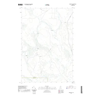
2021 Map of Oxbow East
USGS Topo · Published 2021About this map
The Aroostook River carves a distinctive path through this section of northern Maine, forming the namesake loop at The Oxbow and meandering past Pine Island and Seven Islands. This landscape is defined by its complex hydrology, where Shephard Rips creates whitewater transitions and Umcolcus Stream flows north to meet the main river channel. The settlement of Oxbow serves as the primary hub of human activity, situated near the riverbanks and connected by Oxbow Rd and River Rd. Local history and genealogy are anchored at Willard Cem and Oxbow Cem, which sit just east of the village. The southern boundary of the map marks the transition between Aroostook Co and Penobscot Co, a remote timber and water-dominated region where high ground like Yerxa Ridge overlooks vast wetlands such as Otter Brook Bog.
Find a feature on this map
26 named features on this map. Tap any name to fly to it.
Don’t see what you’re looking for? This feature index may not catch every label — zoom into the map to look around manually.
Map Details
Editions of this 2021 Oxbow East Map
This is the sole edition of this map. No revisions or reprints were ever made.
Other maps of this area

1930 · Greenlaw
USGS Topo · 1:48,000

1931 · Ashland
USGS Topo · 1:48,000

1933 · Greenlaw
USGS Topo · 1:62,500

1934 · Ashland
USGS Topo · 1:62,500

1940 · Oxbow
USGS Topo · 1:62,500

1942 · Oxbow
USGS Topo · 1:62,500

1953 · Ashland
USGS Topo · 1:62,500

1954 · Grand Lake Seboeis
USGS Topo · 1:62,500

1954 · Presque Isle
USGS Topo · 1:250,000

1958 · Presque Isle
USGS Topo · 1:250,000