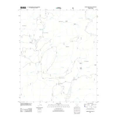
2011 Map of Oxbow Mountain
USGS Topo · Published 2011About this map
Bar X Ranch stands as a central landmark in this high-elevation landscape of Gila County, defined by a complex network of canyons and water management features. The terrain is marked by significant vertical relief, from the heights of Oxbow Mountain and the Naegelin Rim to the depths of Colcord Canyon and Lost Salt Canyon. This 2011 survey reveals an environment focused on ranching and outdoor recreation, where historic movement is traced along the Chamberlain Trl and Homestead Rd. Water security is critical in this arid high country, evidenced by numerous named stock tanks such as Stolen Tank Number Two, Grasshopper Tank, and Mexican Hat Tank. Isolated aviation points like Pleasant Valley Airstrip and Waldrip Airstrip emphasize the area's limited accessibility, while the Haigler Canyon Campground and Alderwood Campground indicate its role as a destination for forest visitors near Haigler Creek.
Find a feature on this map
52 named features on this map. Tap any name to fly to it.
Don’t see what you’re looking for? This feature index may not catch every label — zoom into the map to look around manually.
Map Details
Editions of this 2011 Oxbow Mountain Map
This is the sole edition of this map. No revisions or reprints were ever made.
Other maps of this area
1886 · Holbrook
USGS Topo · 1:250,000
1887 · Verde
USGS Topo · 1:250,000
1892 · Verde
USGS Topo · 1:250,000
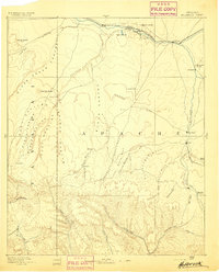
1893 · Holbrook
USGS Topo · 1:250,000
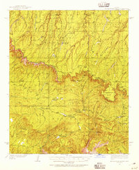
1934 · Promontory Butte
USGS Topo · 1:62,500
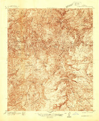
1937 · Diamond Butte
USGS Topo · 1:48,000
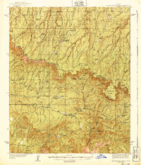
1939 · Promontory Butte
USGS Topo · 1:62,500
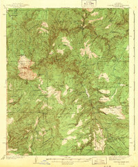
1943 · Diamond Butte
USGS Topo · 1:62,500
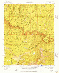
1952 · Promontory Butte
USGS Topo · 1:62,500
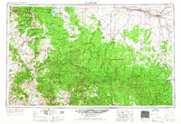
1954 · Holbrook
USGS Topo · 1:250,000