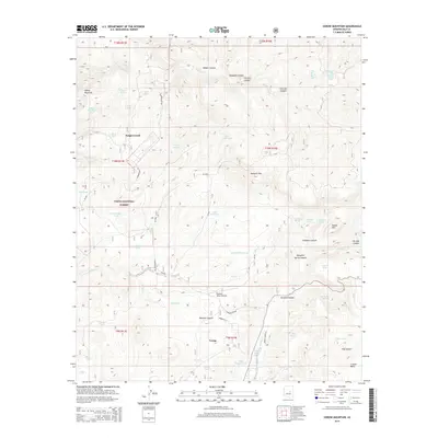
2014 Map of Oxbow Mountain
USGS Topo · Published 2014About this map
Young sits at the southern heart of this high-elevation landscape, representing a remote settlement pocket within the Tonto National Forest. The geography is defined by a complex network of drainage basins and ridges, where Haigler Creek and Cherry Creek have carved deep paths through the terrain. Evidence of the area's ranching and land-management history is found in the dense concentration of water storage features, such as Mexican Hat Tank and Cline Pasture Tank, which supported livestock and wildlife across the uneven surface of Crouch Mesa and Naegelin Rim. Historic transit routes like the Chamberlain Trl and Granny Jones Ln provide specific points of interest for those tracing the development of Gila County's back country. Further north, the prominent Oxbow Mountain overlooks several canyons, including Colcord Canyon and Lost Salt Canyon, illustrating the isolation of this corner of the Mogollon Rim country.
Find a feature on this map
60 named features on this map. Tap any name to fly to it.
Don’t see what you’re looking for? This feature index may not catch every label — zoom into the map to look around manually.
Map Details
Editions of this 2014 Oxbow Mountain Map
This is the sole edition of this map. No revisions or reprints were ever made.
Other maps of this area
1886 · Holbrook
USGS Topo · 1:250,000
1887 · Verde
USGS Topo · 1:250,000
1892 · Verde
USGS Topo · 1:250,000
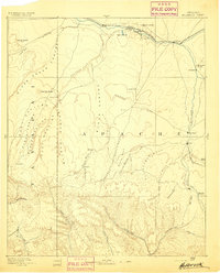
1893 · Holbrook
USGS Topo · 1:250,000
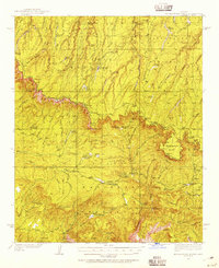
1934 · Promontory Butte
USGS Topo · 1:62,500
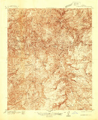
1937 · Diamond Butte
USGS Topo · 1:48,000
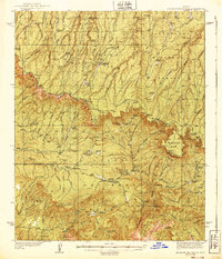
1939 · Promontory Butte
USGS Topo · 1:62,500
1943 · Diamond Butte
USGS Topo · 1:62,500
1952 · Promontory Butte
USGS Topo · 1:62,500
1954 · Holbrook
USGS Topo · 1:250,000