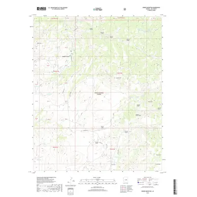
2018 Map of Oxbow Mountain
USGS Topo · Published 2018About this map
Haigler Creek serves as a central landmark in this portion of the Tonto National Forest, where the rugged terrain of the Arizona High Country is defined by a complex network of canyons and high mesas. The landscape is characterized by prominent vertical relief, notably at Oxbow Mtn and along the Naegelin Rim, which overlooks deep drainages like Naegelin Canyon and Colcord Canyon. Historical movement through this difficult territory is evidenced by established routes such as the Chamberlain Trl and various Forest Service roads that connect isolated points like the Pleasant Valley Airstrip.
Find a feature on this map
75 named features on this map. Tap any name to fly to it.
Don’t see what you’re looking for? This feature index may not catch every label — zoom into the map to look around manually.
Map Details
Editions of this 2018 Oxbow Mountain Map
This is the sole edition of this map. No revisions or reprints were ever made.
Other maps of this area
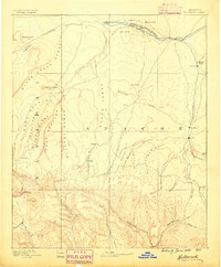
1886 · Holbrook
USGS Topo · 1:250,000
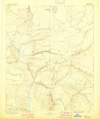
1887 · Verde
USGS Topo · 1:250,000
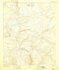
1892 · Verde
USGS Topo · 1:250,000
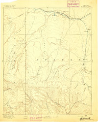
1893 · Holbrook
USGS Topo · 1:250,000
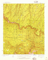
1934 · Promontory Butte
USGS Topo · 1:62,500
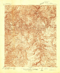
1937 · Diamond Butte
USGS Topo · 1:48,000
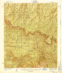
1939 · Promontory Butte
USGS Topo · 1:62,500
1943 · Diamond Butte
USGS Topo · 1:62,500
1952 · Promontory Butte
USGS Topo · 1:62,500
1954 · Holbrook
USGS Topo · 1:250,000