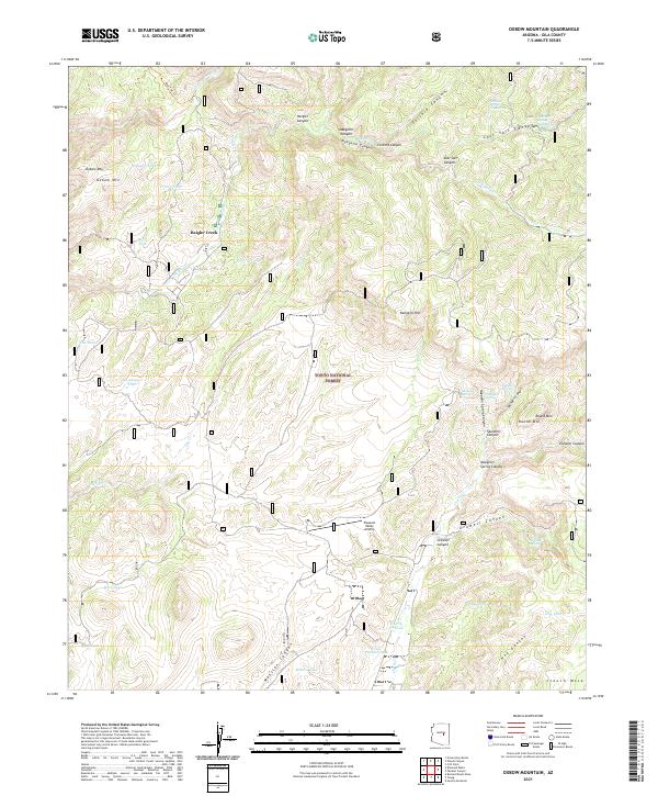
2021 Map of Oxbow Mountain
USGS Topo · Published 2021About this map
Tonto National Forest land dominates this 2021 study of the high desert and canyon country of Gila County. The terrain is defined by a series of deep drainages, including Haigler Canyon and Gordon Canyon Cr, that cut through the plateaus toward the Naegelin Rim. Water remains the primary driver of names across this landscape, evidenced by numerous named springs such as Naegelin Spring and Lost Salt Spring Number One, along with the specialized livestock water sources like Cline Pasture Tank and Cherry Cr Tank.
Find a feature on this map
49 named features on this map. Tap any name to fly to it.
Don’t see what you’re looking for? This feature index may not catch every label — zoom into the map to look around manually.
Map Details
Editions of this 2021 Oxbow Mountain Map
This is the sole edition of this map. No revisions or reprints were ever made.
Other maps of this area

1886 · Holbrook
USGS Topo · 1:250,000

1887 · Verde
USGS Topo · 1:250,000

1892 · Verde
USGS Topo · 1:250,000

1893 · Holbrook
USGS Topo · 1:250,000

1934 · Promontory Butte
USGS Topo · 1:62,500

1937 · Diamond Butte
USGS Topo · 1:48,000

1939 · Promontory Butte
USGS Topo · 1:62,500

1943 · Diamond Butte
USGS Topo · 1:62,500

1952 · Promontory Butte
USGS Topo · 1:62,500

1954 · Holbrook
USGS Topo · 1:250,000