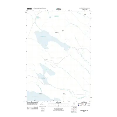
2011 Map of Oxbrook Lakes
USGS Topo · Published 2011About this map
West Musquash Lake and the interconnected waters of the Upper Oxbrook Lake and Lower Oxbrook Lake dominate this interior Maine landscape. This 2011 survey illustrates a region shaped by complex glacial hydrology, where Amazon Brook and Otter Brook drain through a series of valleys between notable elevations. Peaks such as Bear Mountain, Mount Delight, and Porcupine Mountain provide significant relief against the wetland-rich basins.
Find a feature on this map
26 named features on this map. Tap any name to fly to it.
Don’t see what you’re looking for? This feature index may not catch every label — zoom into the map to look around manually.
Map Details
Editions of this 2011 Oxbrook Lakes Map
This is the sole edition of this map. No revisions or reprints were ever made.
Other maps of this area

1940 · Waite
USGS Topo · 1:62,500

1941 · Scraggly Lake
USGS Topo · 1:62,500

1941 · Big Lake
USGS Topo · 1:62,500

1941 · Wabassus Lake
USGS Topo · 1:62,500

1942 · Waite
USGS Topo · 1:62,500

1943 · Big Lake
USGS Topo · 1:62,500

1943 · Wabassus Lake
USGS Topo · 1:62,500

1944 · Scraggly Lake
USGS Topo · 1:62,500

1952 · Big Lake
USGS Topo · 1:50,000

1953 · Wabassus Lake
USGS Topo · 1:62,500