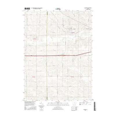
2015 Map of Oxford
USGS Topo · Published 2015About this map
Oxford serves as the central hub of this agricultural landscape in eastern Iowa, situated along the northern banks of Clear Cr. The town's historic footprint is defined by its grid of streets, including State St NW and Lower Oxford Rd NW, and is flanked to the northwest by Oxford Cem and Mount Calvary Cem. The surrounding countryside is shaped by a dense network of drainage, where Rhine Cr joins the larger Clear Creek valley, and the headwaters of N Br Old Mans Cr and Bradley Cr carve into the southern uplands. This area, divided by the Iowa Co Johnson Co line, reflects a mature rural layout where secondary roads like Co Hwy-F35 and Johnson-Iowa Rd follow the section lines of the Public Land Survey System, connecting farmsteads that have anchored this community for generations.
Find a feature on this map
52 named features on this map. Tap any name to fly to it.
Don’t see what you’re looking for? This feature index may not catch every label — zoom into the map to look around manually.
Map Details
Editions of this 2015 Oxford Map
This is the sole edition of this map. No revisions or reprints were ever made.
Other maps of this area

1887 · Cedar Rapids
USGS Topo · 1:62,500

1888 · Amana
USGS Topo · 1:62,500

1889 · Amana
USGS Topo · 1:62,500

1891 · Oxford
USGS Topo · 1:62,500

1891 · Cedar Rapids
USGS Topo · 1:62,500

1891 · Iowa City
USGS Topo · 1:62,500

1894 · Oxford
USGS Topo · 1:62,500

1899 · Amana
USGS Topo · 1:62,500

1903 · Fairfax
USGS Topo · 1:125,000

1938 · Iowa City
USGS Topo · 1:62,500