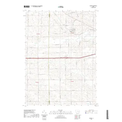
2018 Map of Oxford
USGS Topo · Published 2018About this map
Oxford serves as the primary hub in this portion of western Johnson County, where the township grid meets the meandering path of Rhine Cr. The town's historical layout is anchored by local landmarks including Oxford Cem and Mount Calvary Cem, situated north of the central residential cluster. The landscape is defined by its drainage patterns, with Clear Cr flowing through the central sections and the N Br Old Mans Cr cutting through the southern half of the quadrangle. Transport routes such as Co Rd W38 and the remnants of Upper Old Highway 6 Rd NW illustrate the evolution of regional travel, connecting isolated farmsteads across the undulating terrain. The western boundary is clearly marked by the Iowa Co Johnson Co line, separating the townships of t80n r9w and t80n r8w.
Find a feature on this map
41 named features on this map. Tap any name to fly to it.
Don’t see what you’re looking for? This feature index may not catch every label — zoom into the map to look around manually.
Map Details
Editions of this 2018 Oxford Map
This is the sole edition of this map. No revisions or reprints were ever made.
Other maps of this area

1887 · Cedar Rapids
USGS Topo · 1:62,500

1888 · Amana
USGS Topo · 1:62,500

1889 · Amana
USGS Topo · 1:62,500

1891 · Oxford
USGS Topo · 1:62,500

1891 · Cedar Rapids
USGS Topo · 1:62,500

1891 · Iowa City
USGS Topo · 1:62,500

1894 · Oxford
USGS Topo · 1:62,500

1899 · Amana
USGS Topo · 1:62,500

1903 · Fairfax
USGS Topo · 1:125,000

1938 · Iowa City
USGS Topo · 1:62,500