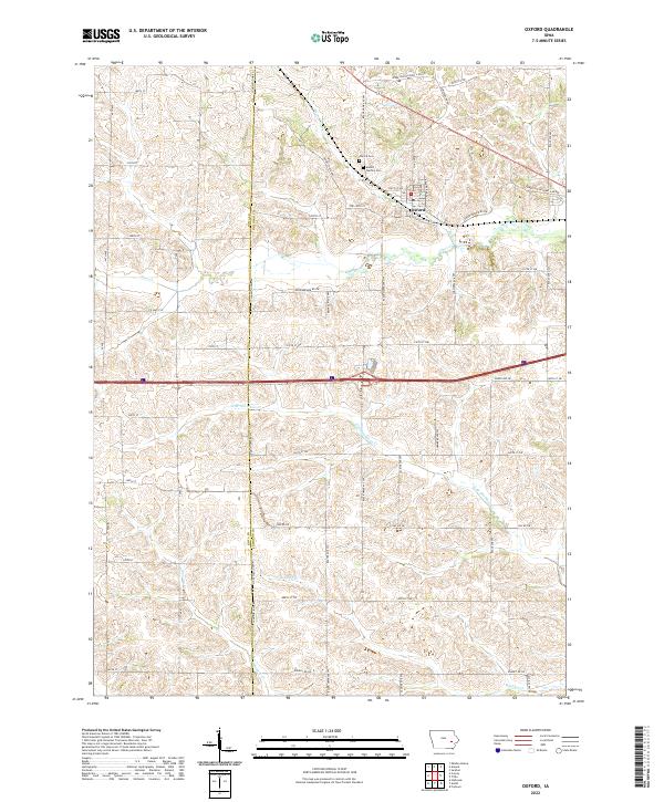
2022 Map of Oxford
USGS Topo · Published 2022About this map
Oxford stands as a focal point of this Johnson County landscape, situated near the winding course of Rhine Cr and Clear Cr. The area is characterized by a dense network of local roads that bridge the transition between agricultural tracts and the small town center, including historic routes such as Upper Old Highway 6 Rd NW and Cemetery Rd NW. To the north of the settlement, Oxford Cem and Mount Calvary Cem provide significant points of interest for genealogists and local historians, anchoring the community's history in the rolling terrain.
Find a feature on this map
55 named features on this map. Tap any name to fly to it.
Don’t see what you’re looking for? This feature index may not catch every label — zoom into the map to look around manually.
Map Details
Editions of this 2022 Oxford Map
This is the sole edition of this map. No revisions or reprints were ever made.
Other maps of this area

1887 · Cedar Rapids
USGS Topo · 1:62,500

1888 · Amana
USGS Topo · 1:62,500

1889 · Amana
USGS Topo · 1:62,500

1891 · Oxford
USGS Topo · 1:62,500

1891 · Cedar Rapids
USGS Topo · 1:62,500

1891 · Iowa City
USGS Topo · 1:62,500

1894 · Oxford
USGS Topo · 1:62,500

1899 · Amana
USGS Topo · 1:62,500

1903 · Fairfax
USGS Topo · 1:125,000

1938 · Iowa City
USGS Topo · 1:62,500