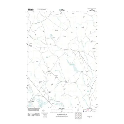
2011 Map of Oxford
USGS Topo · Published 2011About this map
Welchville and Hebron anchor this portion of Oxford County, where the Little Androscoggin River flows toward Whitney Pond and Thompson Lake. The landscape is defined by its many granite peaks and ridges, including Streaked Mountain, Singepole Mountain, and Mount Marie, which separate the various brook valleys. Notable for genealogists, the map identifies numerous burial grounds such as Shepardsfield Cemetery, Bucknam Cemetery, and Holmes Cemetery, providing a precise record of historical family plots and community resting places. The infrastructure of the early 21st century is represented by the Oxford County Regional Airport and Kimballs Airport, while older transportation patterns are still visible near Oxford Station. This terrain, a mixture of water and wood, is interconnected by a network of rural routes like Hebron Rd and Durrell Hill Rd, reflecting a long history of upland settlement and river-valley industry.
Find a feature on this map
125 named features on this map. Tap any name to fly to it.
Don’t see what you’re looking for? This feature index may not catch every label — zoom into the map to look around manually.
Map Details
Editions of this 2011 Oxford Map
This is the sole edition of this map. No revisions or reprints were ever made.
Other maps of this area

1896 · Norway
USGS Topo · 1:62,500

1908 · Poland
USGS Topo · 1:62,500

1911 · Bryant Pond
USGS Topo · 1:62,500

1911 · Buckfield
USGS Topo · 1:62,500

1913 · Buckfield
USGS Topo · 1:62,500

1914 · Bryant Pond
USGS Topo · 1:62,500

1940 · Poland
USGS Topo · 1:62,500

1942 · Buckfield
USGS Topo · 1:62,500

1942 · Bryant Pond
USGS Topo · 1:62,500

1942 · Poland
USGS Topo · 1:62,500