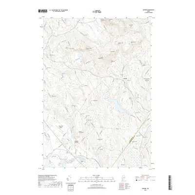
2018 Map of Oxford
USGS Topo · Published 2018About this map
The Little Androscoggin River valley defines this part of Oxford County, where the historic St Lawrence & Atlantic RR corridor runs alongside the water through Oxford Station. This modern survey highlights a high density of ancestral sites, including family and community burial grounds such as Shepardsfield Cem, Bryant Record Cem, and the prominent Churchyard Cem near Hebron. The terrain is characterized by a series of significant peaks like Streaked Mtn and Singepole Mtn, which rise sharply above the brooks and ponds that feed the river system.
Find a feature on this map
111 named features on this map. Tap any name to fly to it.
Don’t see what you’re looking for? This feature index may not catch every label — zoom into the map to look around manually.
Map Details
Editions of this 2018 Oxford Map
This is the sole edition of this map. No revisions or reprints were ever made.
Other maps of this area

1896 · Norway
USGS Topo · 1:62,500

1908 · Poland
USGS Topo · 1:62,500

1911 · Bryant Pond
USGS Topo · 1:62,500

1911 · Buckfield
USGS Topo · 1:62,500

1913 · Buckfield
USGS Topo · 1:62,500

1914 · Bryant Pond
USGS Topo · 1:62,500

1940 · Poland
USGS Topo · 1:62,500

1942 · Buckfield
USGS Topo · 1:62,500

1942 · Bryant Pond
USGS Topo · 1:62,500

1942 · Poland
USGS Topo · 1:62,500