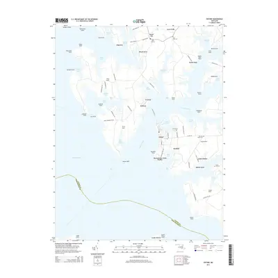
2014 Map of Oxford
USGS Topo · Published 2014About this map
The maritime character of the Chesapeake Bay dominates this survey of the Eastern Shore, where the Tred Avon River carves into the landscape of Talbot County. At the heart of the region is the historic port of Oxford, connected to Bellevue via the long-standing Tred Avon Ferry. The map details a sophisticated network of points and necks, from Ferry Neck to Oxford Neck, illustrating how the water dictated the placement of settlements and agricultural tracts.
Find a feature on this map
84 named features on this map. Tap any name to fly to it.
Don’t see what you’re looking for? This feature index may not catch every label — zoom into the map to look around manually.
Map Details
Editions of this 2014 Oxford Map
This is the sole edition of this map. No revisions or reprints were ever made.
Other maps of this area

1892 · Annapolis
USGS Topo · 1:62,500

1893 · Sharps Island
USGS Topo · 1:62,500

1898 · Choptank
USGS Topo · 1:125,000

1904 · St. Michaels
USGS Topo · 1:62,500

1904 · Annapolis
USGS Topo · 1:62,500

1904 · Sharps Island
USGS Topo · 1:62,500

1904 · Oxford
USGS Topo · 1:62,500

1908 · Choptank
USGS Topo · 1:125,000

1942 · Tilghman
USGS Topo · 1:31,680

1942 · Oxford
USGS Topo · 1:31,680