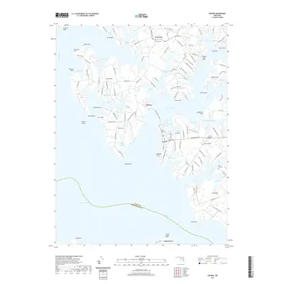
2019 Map of Oxford
USGS Topo · Published 2019About this map
Oxford occupies a prominent peninsula where the Tred Avon River meets the Choptank River, anchoring a landscape defined by its deep maritime heritage. The historical connectivity of this region is evidenced by the Oxford Bellevue Ferry, which links the town of Oxford to Bellevue across the water. Further inland, the settlement of Royal Oak sits at a crossroads, surrounded by numerous family-named landmarks and local burial grounds such as Saint Pauls Cem and Royal Oak Cem.
Find a feature on this map
128 named features on this map. Tap any name to fly to it.
Don’t see what you’re looking for? This feature index may not catch every label — zoom into the map to look around manually.
Map Details
Editions of this 2019 Oxford Map
This is the sole edition of this map. No revisions or reprints were ever made.
Other maps of this area

1892 · Annapolis
USGS Topo · 1:62,500

1893 · Sharps Island
USGS Topo · 1:62,500

1898 · Choptank
USGS Topo · 1:125,000

1904 · St. Michaels
USGS Topo · 1:62,500

1904 · Annapolis
USGS Topo · 1:62,500

1904 · Sharps Island
USGS Topo · 1:62,500

1904 · Oxford
USGS Topo · 1:62,500

1908 · Choptank
USGS Topo · 1:125,000

1942 · Tilghman
USGS Topo · 1:31,680

1942 · Oxford
USGS Topo · 1:31,680