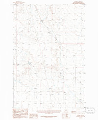
1986 Map of Oxford
USGS Topo · Published 1986About this map
Oxford appears in the mid-1980s as a sparsely populated crossroads in Wheatland County, situated where the East Fork Roberts Creek transitions into the broader drainage basin. The landscape is defined by agricultural infrastructure and land use, characterized by numerous Corrals and several Grain Bins that serve the local ranching community. Transportation through this part of Montana is primarily handled by improved and unimproved roads that navigate the subtle topographical shifts of the High Plains. Natural water sources like Blake Creek and various Springs and Wells are critical landmarks in this arid environment, while small-scale industry is represented by scattered Gravel Pits, indicating local resource extraction used for road maintenance and regional development.
Find a feature on this map
9 named features on this map. Tap any name to fly to it.
Don’t see what you’re looking for? This feature index may not catch every label — zoom into the map to look around manually.
Map Details
Editions of this 1986 Oxford Map
This is the sole edition of this map. No revisions or reprints were ever made.
Other maps of this area

1889 · Big Snowy Mountain
USGS Topo · 1:250,000

1893 · Big Snowy Mountain
USGS Topo · 1:250,000

1954 · Roundup
USGS Topo · 1:250,000

1958 · Roundup
USGS Topo · 1:250,000
1986 · Oka
USGS Topo · 1:24,000
1986 · Yaple Bench
USGS Topo · 1:24,000
1986 · Judith Gap
USGS Topo · 1:24,000
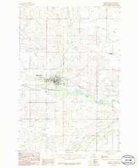
1986 · Harlowton
USGS Topo · 1:24,000
1986 · Elephant Rocks
USGS Topo · 1:24,000
1986 · Nihill
USGS Topo · 1:24,000