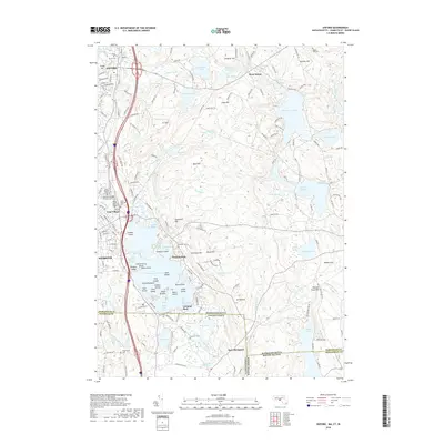
2018 Map of Oxford
USGS Topo · Published 2018About this map
The sprawling waters of Lake Chaubunagungamaug dominate this landscape near the tri-state junction where Massachusetts, Connecticut, and Rhode Island meet. The lake's complex shoreline is dotted with local landmarks such as Wawela Park, Colonial Park, and numerous islands including Killdeer Island and Bates Island. This survey illustrates a region defined by its glacial hydrology, where smaller basins like Manchaug Pond and Wallum Lake are connected by a network of drainage including Sucker Brook and the Fivemile River.
Find a feature on this map
81 named features on this map. Tap any name to fly to it.
Don’t see what you’re looking for? This feature index may not catch every label — zoom into the map to look around manually.
Map Details
Editions of this 2018 Oxford Map
This is the sole edition of this map. No revisions or reprints were ever made.
Other maps of this area

1886 · Blackstone
USGS Topo · 1:62,500

1889 · Blackstone
USGS Topo · 1:62,500

1889 · Webster
USGS Topo · 1:62,500

1889 · Putnam
USGS Topo · 1:62,500

1889 · Burrillville
USGS Topo · 1:62,500

1892 · Webster
USGS Topo · 1:62,500

1893 · Putnam
USGS Topo · 1:62,500

1893 · Blackstone
USGS Topo · 1:62,500

1894 · Burrillville
USGS Topo · 1:62,500

1900 · Blackstone
USGS Topo · 1:62,500