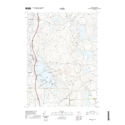
2021 Map of Oxford
USGS Topo · Published 2021About this map
The sprawling waters of Lake Chaubunagungamaug dominate this borderland landscape, where the town of Webster meets the village of East Village. The map reveals a dense concentration of cultural history along the lake's northern shores, featuring numerous islands like Killdeer Island, Treasure Island, and Checkerberry Island. The area's genealogical significance is high, with a clustered corridor of burial grounds including Sacred Heart of Jesus Cem, Saint Josephs Cem, and Saint Anthony Cem serving the local communities.
Find a feature on this map
208 named features on this map. Tap any name to fly to it.
Don’t see what you’re looking for? This feature index may not catch every label — zoom into the map to look around manually.
Map Details
Editions of this 2021 Oxford Map
This is the sole edition of this map. No revisions or reprints were ever made.
Other maps of this area

1886 · Blackstone
USGS Topo · 1:62,500

1889 · Blackstone
USGS Topo · 1:62,500

1889 · Webster
USGS Topo · 1:62,500

1889 · Putnam
USGS Topo · 1:62,500

1889 · Burrillville
USGS Topo · 1:62,500

1892 · Webster
USGS Topo · 1:62,500

1893 · Putnam
USGS Topo · 1:62,500

1893 · Blackstone
USGS Topo · 1:62,500

1894 · Burrillville
USGS Topo · 1:62,500

1900 · Blackstone
USGS Topo · 1:62,500