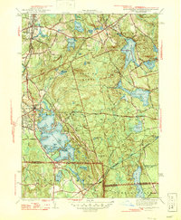
1946 Map of Oxford
USGS Topo · Published 1946About this map
Lake Chaubunagungamaug dominates the southwestern portion of this mid-century survey, its intricate shoreline dotted with local summer destinations like Wawela Park and Colonial Park. This region, spanning the intersection of Massachusetts and Rhode Island, reveals a landscape defined by its glacial history and industrial water management. The massive Douglas Woods and the Douglas Cedar Swamp stretch across the central terrain, while the northeastern corner shows the early development of Sutton and the waters of Manohaug Pond. Transport and trade are etched into the land via the Central Turnpike and the York New Haven and Hartford rail lines. Notable landmarks such as the Fire Tower on Goat Hill provide vertical perspective over a terrain of ponds and reservoirs, including Slaters Pond and the expansive Wallis Reservoir, illustrating the area's transition from rural timberlands and early manufacturing centers like East Village to a popular recreational corridor.
Find a feature on this map
48 named features on this map. Tap any name to fly to it.
Don’t see what you’re looking for? This feature index may not catch every label — zoom into the map to look around manually.
Map Details
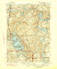
Editions of this 1946 Oxford Map
2 editions found
Other maps of this area

1886 · Blackstone
USGS Topo · 1:62,500

1889 · Blackstone
USGS Topo · 1:62,500

1889 · Webster
USGS Topo · 1:62,500

1889 · Putnam
USGS Topo · 1:62,500

1889 · Burrillville
USGS Topo · 1:62,500

1892 · Webster
USGS Topo · 1:62,500

1893 · Putnam
USGS Topo · 1:62,500

1893 · Blackstone
USGS Topo · 1:62,500

1894 · Burrillville
USGS Topo · 1:62,500

1900 · Blackstone
USGS Topo · 1:62,500