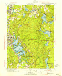
1953 Map of Oxford
USGS Topo · Published 1954About this map
Lake Chaubunagungamaug dominates the southwestern quadrant of this 1953 survey, showing a landscape defined by industrial water power and the tri-state border region of Massachusetts, Connecticut, and Rhode Island. The map details the industrial character of Webster and the village of Manchaug, where Stevens Pond and Wallis Reservoir supported local manufacturing. Transport networks are firmly established, including the New York New Haven and Hartford railroad and the Sutton Turnpike. The extensive Douglas Woods and Douglas State Forest occupy the central terrain, punctuated by family-named landmarks like Putnam Hill and Wadkin Hill. Genealogists will find value in the specific locations of St Joseph Cem and the Pine Harbor Sch near the northern shores of Wallum Lake, while the varied islands of the Great Lake—such as Cobble Island and Sinclair Island—provide a detailed view of its complex shoreline before modern development.
Find a feature on this map
74 named features on this map. Tap any name to fly to it.
Don’t see what you’re looking for? This feature index may not catch every label — zoom into the map to look around manually.
Map Details
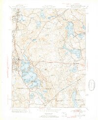
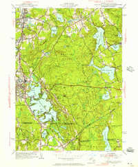
Editions of this 1953 Oxford Map
3 editions found
Other maps of this area

1886 · Blackstone
USGS Topo · 1:62,500

1889 · Blackstone
USGS Topo · 1:62,500

1889 · Webster
USGS Topo · 1:62,500

1889 · Putnam
USGS Topo · 1:62,500

1889 · Burrillville
USGS Topo · 1:62,500

1892 · Webster
USGS Topo · 1:62,500

1893 · Putnam
USGS Topo · 1:62,500

1893 · Blackstone
USGS Topo · 1:62,500

1894 · Burrillville
USGS Topo · 1:62,500

1900 · Blackstone
USGS Topo · 1:62,500