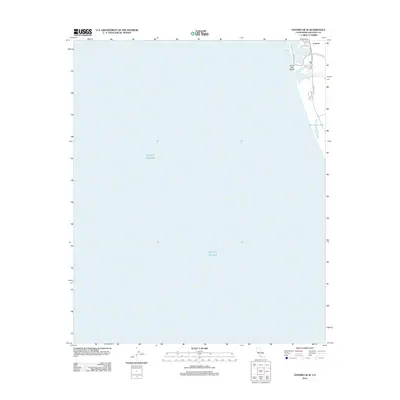
2012 Map of Oxnard OE W
USGS Topo · Published 2012About this map
Ventura marks the northeastern edge of this coastal survey, where the city meets the edge of the Pacific Ocean. This 2012 map focuses primarily on the maritime entry to Ventura Harbor, showing the intricate slips and the protective structures of the inlet. The coastline stretches southward toward the quieter waters of Mc Grath Lake, a small body of water separated from the sea by the coastal dunes. The infrastructure of the harbor area is defined by specialized roads like Spinnaker Dr and Navigator Dr, which serve the recreational and commercial facilities near South Jetty Beach. Inland, N Harbor Blvd and Olivas Park Dr provide the primary transit links between the maritime district and the broader Ventura County landscape.
Find a feature on this map
9 named features on this map. Tap any name to fly to it.
Don’t see what you’re looking for? This feature index may not catch every label — zoom into the map to look around manually.
Map Details
Editions of this 2012 Oxnard OE W Map
This is the sole edition of this map. No revisions or reprints were ever made.
Other maps of this area

1903 · Santa Paula
USGS Topo · 1:62,500

1904 · Ventura
USGS Topo · 1:62,500

1904 · Hueneme
USGS Topo · 1:62,500

1941 · Ventura
USGS Topo · 1:62,500

1942 · Santa Paula
USGS Topo · 1:62,500

1942 · Hueneme
USGS Topo · 1:62,500

1943 · Hueneme
USGS Topo · 1:62,500

1947 · Santa Paula
USGS Topo · 1:62,500

1949 · Los Angeles
USGS Topo · 1:250,000

1949 · Oxnard
USGS Topo · 1:24,000