
1949 Map of Oxnard
USGS Topo · Published 1956About this map
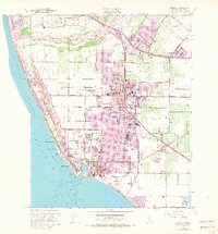
Port Hueneme and the surrounding coastal plain appear here during a period of significant post-war transition, characterized by a mix of intensive agriculture and expanding naval operations. The southern portion of the sheet is dominated by the Naval Reservation and the industrial infrastructure of the port, while the city of Oxnard is shown with its early 20th-century street grid and numerous neighborhood schools like Haydock Sch and Ramona Sch.
Find a feature on this map
64 named features on this map. Tap any name to fly to it.
Don’t see what you’re looking for? This feature index may not catch every label — zoom into the map to look around manually.
Map Details
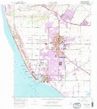
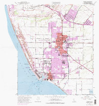
Editions of this 1949 Oxnard Map
4 editions found
Other maps of this area

1903 · Santa Paula
USGS Topo · 1:62,500

1904 · Ventura
USGS Topo · 1:62,500

1904 · Hueneme
USGS Topo · 1:62,500

1941 · Ventura
USGS Topo · 1:62,500

1942 · Santa Paula
USGS Topo · 1:62,500

1942 · Hueneme
USGS Topo · 1:62,500

1943 · Hueneme
USGS Topo · 1:62,500

1947 · Santa Paula
USGS Topo · 1:62,500

1949 · Los Angeles
USGS Topo · 1:250,000
1949 · Point Mugu
USGS Topo · 1:24,000