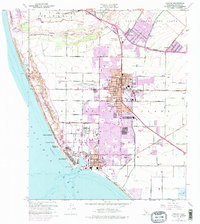
1949 Map of Oxnard
USGS Topo · Published 1974About this map
The Santa Clara River forms the northern boundary of this coastal agricultural landscape, where the growing city of Oxnard transitions from its historic grid into modern expansion. Settlement is concentrated around the established downtown and the deepwater harbor at Port Hueneme, while the coastline is defined by several distinct beach communities including Silver Strand, Hollywood by the Sea, and Oxnard Beach.
Find a feature on this map
61 named features on this map. Tap any name to fly to it.
Don’t see what you’re looking for? This feature index may not catch every label — zoom into the map to look around manually.
Map Details
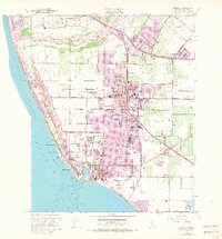
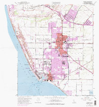
Editions of this 1949 Oxnard Map
4 editions found
Other maps of this area

1903 · Santa Paula
USGS Topo · 1:62,500

1904 · Ventura
USGS Topo · 1:62,500

1904 · Hueneme
USGS Topo · 1:62,500

1941 · Ventura
USGS Topo · 1:62,500

1942 · Santa Paula
USGS Topo · 1:62,500

1942 · Hueneme
USGS Topo · 1:62,500

1943 · Hueneme
USGS Topo · 1:62,500

1947 · Santa Paula
USGS Topo · 1:62,500

1949 · Los Angeles
USGS Topo · 1:250,000

1949 · Oxnard
USGS Topo · 1:24,000