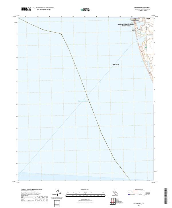
2022 Map of Oxnard OE W
USGS Topo · Published 2022About this map
The coastal interface of San Buenaventura (Ventura) and Oxnard is defined by a thin ribbon of developed shoreline and protected wetlands set against the expansive Pacific Ocean. This modern survey documents the transition from the city of Ventura south toward the Mandalay area, highlighting the intricate coastal access points and recreation paths. Significant environmental and recreational landmarks include the McGrath Lake wetlands and the southern extent of the Channel Islands National Park boundary. The map captures a high degree of detail along the waterfront, from the South Jetty Beach to a network of pedestrian-focused routes like the Ventura Harbor Waterfront Walk and the McGrath State Beach Trl. This documentation of the Ventura County coast illustrates the contemporary balance between urban infrastructure and coastal preservation.
Find a feature on this map
21 named features on this map. Tap any name to fly to it.
Don’t see what you’re looking for? This feature index may not catch every label — zoom into the map to look around manually.
Map Details
Editions of this 2022 Oxnard OE W Map
This is the sole edition of this map. No revisions or reprints were ever made.
Other maps of this area

1903 · Santa Paula
USGS Topo · 1:62,500

1904 · Ventura
USGS Topo · 1:62,500

1904 · Hueneme
USGS Topo · 1:62,500

1941 · Ventura
USGS Topo · 1:62,500

1942 · Santa Paula
USGS Topo · 1:62,500

1942 · Hueneme
USGS Topo · 1:62,500

1943 · Hueneme
USGS Topo · 1:62,500

1947 · Santa Paula
USGS Topo · 1:62,500

1949 · Los Angeles
USGS Topo · 1:250,000

1949 · Oxnard
USGS Topo · 1:24,000