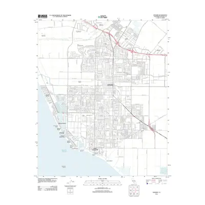
2012 Map of Oxnard
USGS Topo · Published 2012About this map
Oxnard and its coastal neighbors define this Ventura County landscape, where the agricultural legacy of the Oxnard Plain meets a dense network of suburban development and maritime activity. The map traces the critical transit and shipping corridors that fuel the local economy, from the tracks of the Southern Pacific and Ventura County RR to the bustling deep-water facilities at Port Hueneme. Along the shore, a string of distinct beach communities including Silver Strand, Hollywood by the Sea, and Oxnard Shores line the coast, separated by the industrial and naval infrastructure of the Channel Island Harbor.
Find a feature on this map
244 named features on this map. Tap any name to fly to it.
Don’t see what you’re looking for? This feature index may not catch every label — zoom into the map to look around manually.
Map Details
Editions of this 2012 Oxnard Map
This is the sole edition of this map. No revisions or reprints were ever made.
Other maps of this area

1903 · Santa Paula
USGS Topo · 1:62,500

1904 · Ventura
USGS Topo · 1:62,500

1904 · Hueneme
USGS Topo · 1:62,500

1941 · Ventura
USGS Topo · 1:62,500

1942 · Santa Paula
USGS Topo · 1:62,500

1942 · Hueneme
USGS Topo · 1:62,500

1943 · Hueneme
USGS Topo · 1:62,500

1947 · Santa Paula
USGS Topo · 1:62,500

1949 · Los Angeles
USGS Topo · 1:250,000

1949 · Oxnard
USGS Topo · 1:24,000