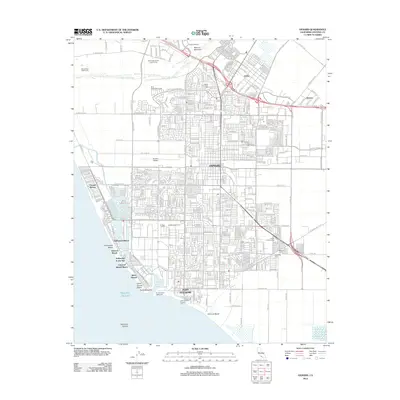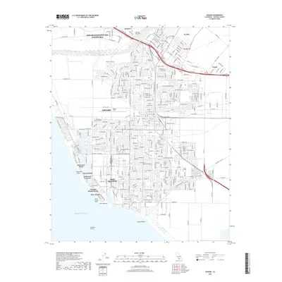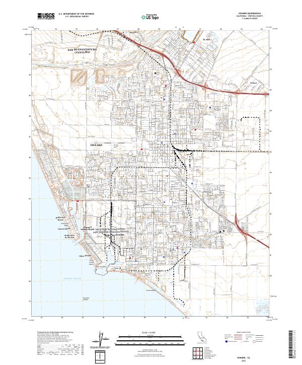
2022 Map of Oxnard
USGS Topo · Published 2022About this map
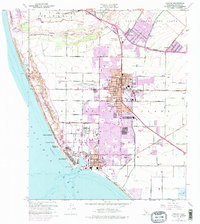
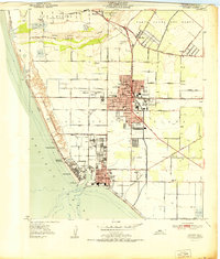
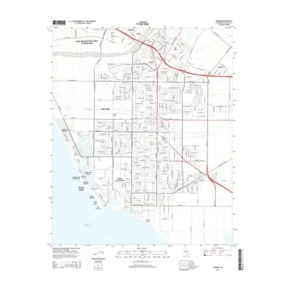
Oxnard and Port Hueneme dominate this coastal landscape, showing a densely developed maritime and suburban corridor along the Pacific Ocean. The map traces the varied shoreline from the residential grids of Hollywood Beach and Silver Strand to the industrial and naval infrastructure of the port. Inland, the influence of the Ventura County RR is evident as it connects coastal hubs to northern settlements like Montalvo and El Rio. Cultural history is anchored by sites such as the Santa Clara Cem and the Japanese Cem, while the Oxnard Airport and Oxnard College reflect the modern institutional character of the Ventura County coast. The Santa Clara River forms a significant geographical boundary to the north, separating the core of Oxnard from the southern edge of San Buenaventura.
Find a feature on this map
584 named features on this map. Tap any name to fly to it.
Don’t see what you’re looking for? This feature index may not catch every label — zoom into the map to look around manually.
Map Details
Editions of this 2022 Oxnard Map
This is the sole edition of this map. No revisions or reprints were ever made.
Historical Maps of Oxnard Through Time
6 maps found