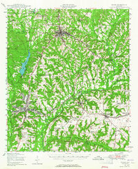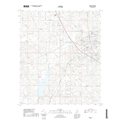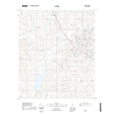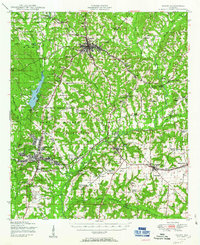
1950 Map of Ozark
USGS Topo · Published 1950About this map
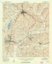
Camp Rucker dominates the southwestern portion of this mid-century survey, its expansive reservation boundary encompassing training grounds and the Ozark Airfield. The landscape is a network of small agricultural settlements and rural religious centers like Claybank Church and Rocky Mt Church, connected by the Atlantic Coast Line and Central of Georgia railroads. Water power remains a visible legacy of the local economy through sites such as Marley Mill, Faulks Mill, and Adams Mill, which sit along the many creeks feeding into the Choctawhatchee River. This 1950 edition captures the region's transition between traditional mill-based rural life and the significant military presence that reshaped the county's geography during and after World War II.
Find a feature on this map
71 named features on this map. Tap any name to fly to it.
Don’t see what you’re looking for? This feature index may not catch every label — zoom into the map to look around manually.
Map Details
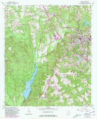
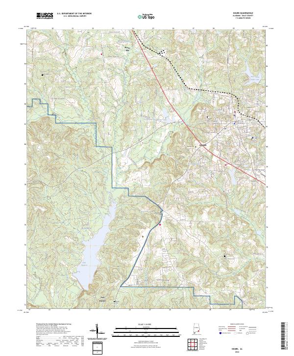
Editions of this 1950 Ozark Map
2 editions found
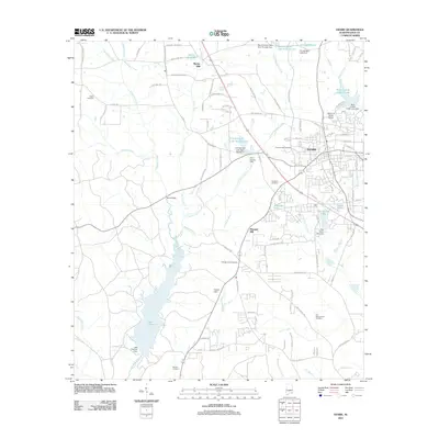
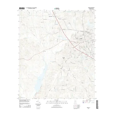
Historical Maps of Dothan Through Time
8 maps found