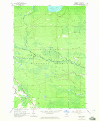
1964 Map of Ozark SE
USGS Topo · Published 1965About this map
The Carp River winds through the heart of the Hiawatha National Forest in this mid-1960s topographic study of the Upper Peninsula. This landscape is defined by its drainage patterns and timberland, where the Soo Line railroad cuts across the southwest corner near Worth Rd. To the north, East Lake dominates the horizon, feeding into a network of tributaries such as North Branch and Taylor Creek. The presence of several Gravel Pits along East Lake Road and Charles Road suggests the era's local industry and infrastructure needs. Landforms like Farm Hill rise above the wetlands, while small interior waters like Spring Lake and its outlet, Upper Spring Lake Creek, provide a detailed look at the hydrology of the St Ignace township and surrounding wilderness areas.
Find a feature on this map
21 named features on this map. Tap any name to fly to it.
Don’t see what you’re looking for? This feature index may not catch every label — zoom into the map to look around manually.
Map Details
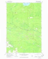
Editions of this 1964 Ozark SE Map
2 editions found
Other maps of this area

1931 · St Ignace NW
USGS Topo · 1:31,680

1931 · Moran NE
USGS Topo · 1:31,680

1931 · Ozark SE
USGS Topo · 1:31,680

1948 · Moran NE
USGS Topo · 1:31,680

1948 · Moran NW
USGS Topo · 1:31,680

1953 · Fibre
USGS Topo · 1:24,000

1954 · Sault Sainte Marie
USGS Topo · 1:250,000

1955 · Cheboygan
USGS Topo · 1:250,000

1956 · Sault Sainte Marie
USGS Topo · 1:250,000

1957 · Sault Sainte Marie
USGS Topo · 1:250,000