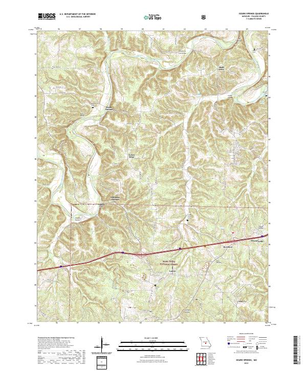
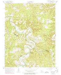
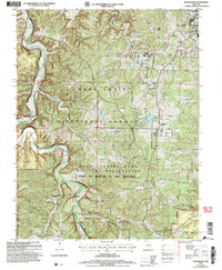
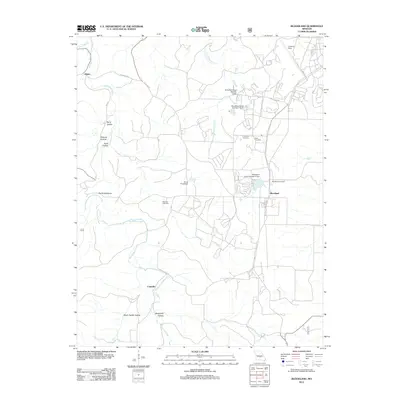
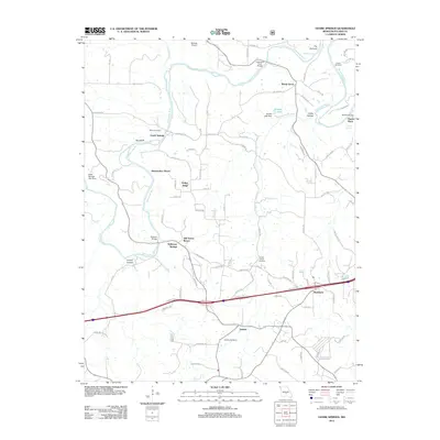
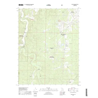
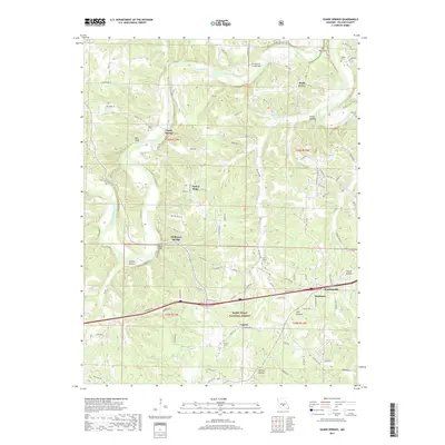
2021 Map of Ozark Springs
USGS Topo · Published 2021About this map
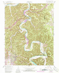
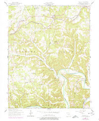
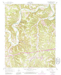
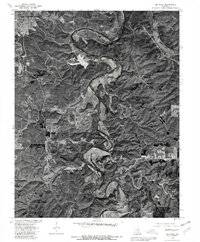
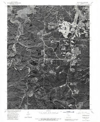
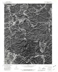
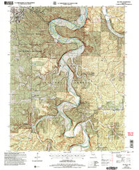
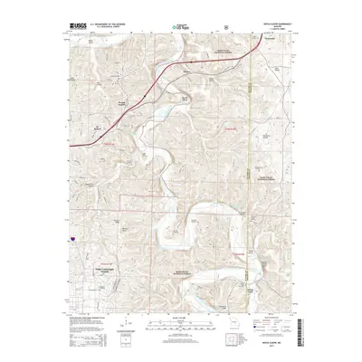
The Gasconade River winds through the heart of this landscape, carving a deep valley that defines the local geography. Significant landmarks such as The Narrows and Red Bluff highlight the varied topography of Pulaski County. Within the Mark Twain National Forest, the map identifies several distinct springs, including Ozark Springs and Stillhouse Springs, which historically served as vital water sources. The area's settlement pattern is anchored by small communities like Laquey, Shady Grove, and Buckhorn, connected by a network of rural roads such as Snake Creek Rd and State Hwy AB. Local genealogy is well-documented through the presence of family-named burial grounds like Mayse Cem and Parsons Cem, along with numerous named hollows like Laquey Hollow and Collie Hollow that reflect the region's deep-rooted land use and community history.
Find a feature on this map
64 named features on this map. Tap any name to fly to it.
Don’t see what you’re looking for? This feature index may not catch every label — zoom into the map to look around manually.
Map Details
Editions of this 2021 Ozark Springs Map
This is the sole edition of this map. No revisions or reprints were ever made.
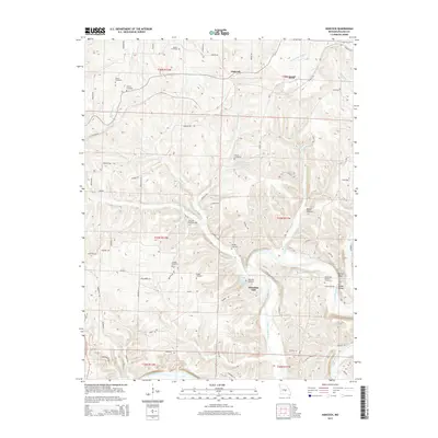
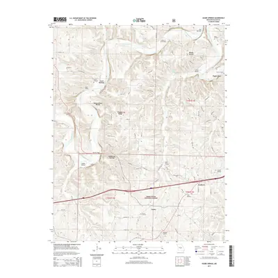
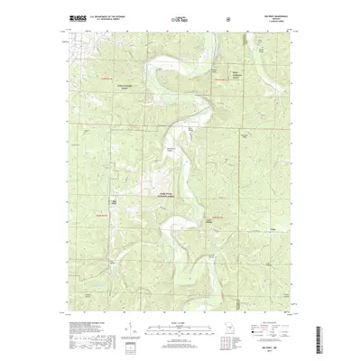
Historical Maps of Waynesville Through Time
41 maps found

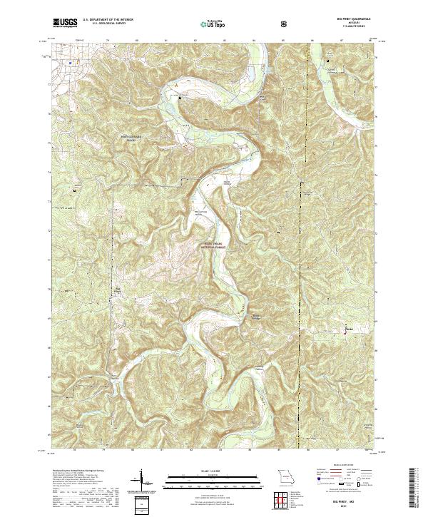
1941 Big Piney
Pulaski County, MO

1943 Big Piney
Pulaski County, MO
1954 Big Piney
Pulaski County, MO
1954 Big Piney
Pulaski County, MO
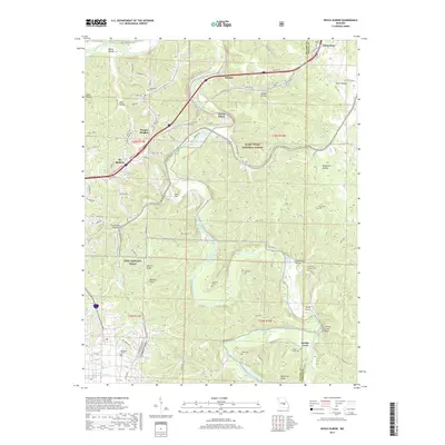
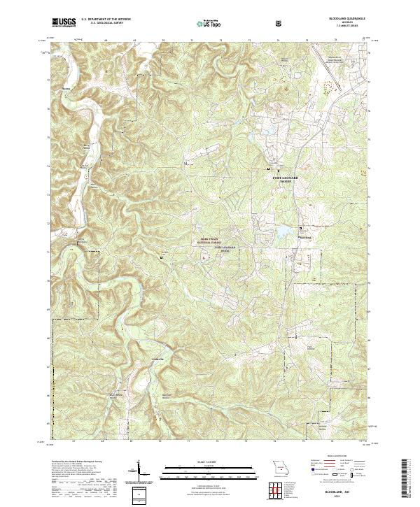
1954 Bloodland
Pulaski County, MO
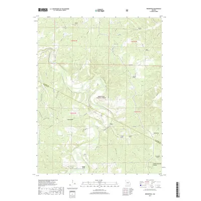
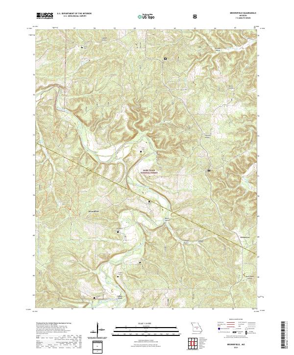
1954 Brownfield
Pulaski County, MO
1954 Devils Elbow
Pulaski County, MO
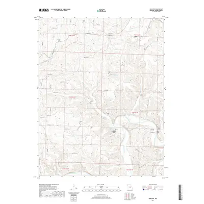
1954 Hancock
Pulaski County, MO
1954 Ozark Springs
Pulaski County, MO
1976 Big Piney
Pulaski County, MO
1976 Bloodland
Pulaski County, MO
1976 Devils Elbow
Pulaski County, MO
2004 Big Piney
Pulaski County, MO
2004 Bloodland
Pulaski County, MO
2004 Brownfield
Pulaski County, MO
2004 Devils Elbow
Pulaski County, MO
2004 Ozark Springs
Pulaski County, MO

2012 Big Piney
Pulaski County, MO
2012 Bloodland
Pulaski County, MO
2012 Brownfield
Pulaski County, MO
2012 Devils Elbow
Pulaski County, MO
2012 Hancock
Pulaski County, MO
2012 Ozark Springs
Pulaski County, MO
2015 Big Piney
Pulaski County, MO
2015 Bloodland
Pulaski County, MO
2015 Brownfield
Pulaski County, MO
2015 Devils Elbow
Pulaski County, MO
2015 Hancock
Pulaski County, MO
2015 Ozark Springs
Pulaski County, MO
2017 Big Piney
Pulaski County, MO
2017 Bloodland
Pulaski County, MO
2017 Brownfield
Pulaski County, MO
2017 Devils Elbow
Pulaski County, MO
2017 Hancock
Pulaski County, MO
2017 Ozark Springs
Pulaski County, MO
2021 Big Piney
Pulaski County, MO
2021 Bloodland
Pulaski County, MO
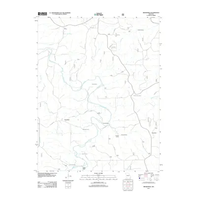
2021 Brownfield
Pulaski County, MO
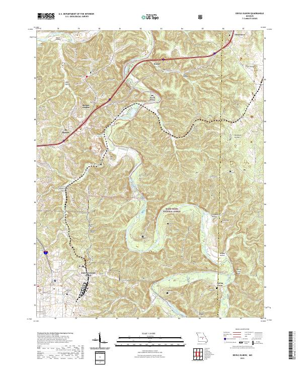
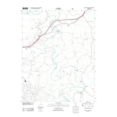
2021 Devils Elbow
Pulaski County, MO
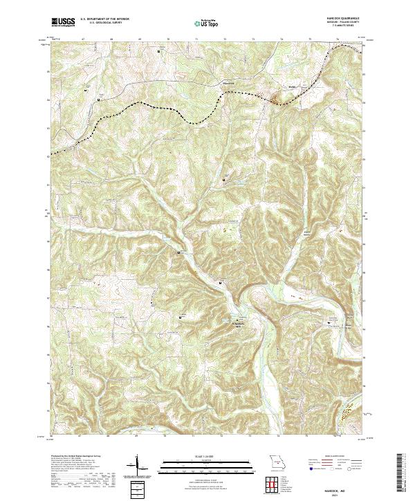
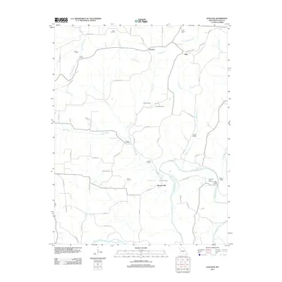
2021 Hancock
Pulaski County, MO
2021 Ozark Springs
Pulaski County, MO