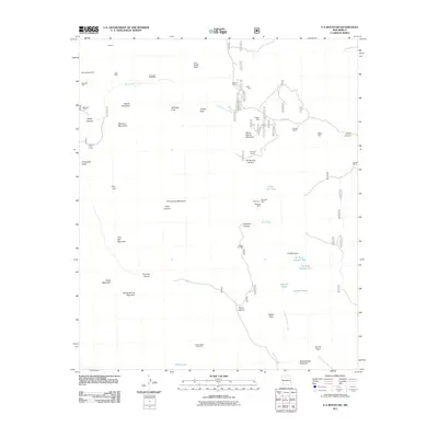
2011 Map of P A Mountain
USGS Topo · Published 2011About this map
Mining operations and ranching land define this high-altitude landscape in the Mimbres Mountains. The area is characterized by numerous small-scale extractive sites, including the Big Japanese Mine, Standard Metal Mine, and the Latham Iron Mine. These operations are interspersed among prominent peaks such as Stoner Mountain and Schoolhouse Mountain, where the terrain drops into significant drainages like Hells Canyon and Casey Canyon.
Find a feature on this map
52 named features on this map. Tap any name to fly to it.
Don’t see what you’re looking for? This feature index may not catch every label — zoom into the map to look around manually.
Map Details
Editions of this 2011 P A Mountain Map
This is the sole edition of this map. No revisions or reprints were ever made.
Other maps of this area

1935 · Hillsboro
USGS Topo · 1:48,000

1940 · Hillsboro
USGS Topo · 1:62,500

1955 · Las Cruces
USGS Topo · 1:250,000

1956 · Dwyer
USGS Topo · 1:62,500

1956 · San Lorenzo
USGS Topo · 1:62,500

1958 · Las Cruces
USGS Topo · 1:250,000

1962 · Lake Valley
USGS Topo · 1:62,500

1982 · Hatch
USGS Topo · 1:100,000
1985 · Dwyer
USGS Topo · 1:24,000
1985 · P A Mountain
USGS Topo · 1:24,000