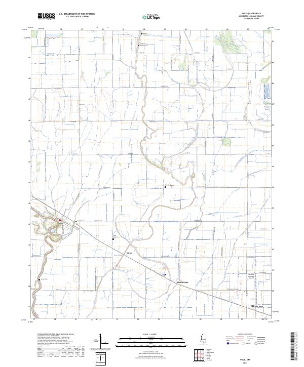
2024 Map of Pace
USGS Topo · Published 2024About this map
Pace and its surrounding delta flatlands are defined by a sophisticated network of bayous and drainage channels in this Mississippi study. The landscape is etched with the courses of Tommie Bayou, Snake Creek, and Bogue Phalia, which weave between a dense grid of rural roads like Pemble Rd and Hiter Rd. Small settlements such as Victor and Kimball Lake appear alongside family-named landmarks and cemeteries, including Smith and Williams Cem and Aycock Cem, which offer significant value for genealogical research in Bolivar County.
Find a feature on this map
70 named features on this map. Tap any name to fly to it.
Don’t see what you’re looking for? This feature index may not catch every label — zoom into the map to look around manually.
Map Details
Editions of this 2024 Pace Map
This is the sole edition of this map. No revisions or reprints were ever made.
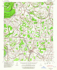
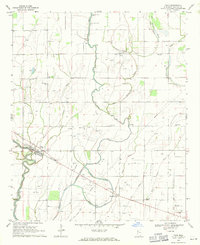
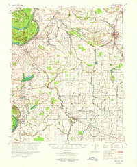
Historical Maps of Pace Through Time
4 maps found