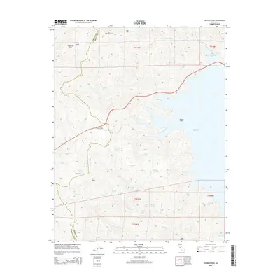
2015 Map of Pacheco Pass
USGS Topo · Published 2015About this map
Pacheco Pass serves as the focal point for this 2015 survey of the boundary between Santa Clara and Merced Counties. The landscape is dominated by the sprawling San Luis Reservoir and the winding course of Route 152, which cuts through the Diablo Range. The map reveals a concentration of small water features and family-named landmarks that suggest the area's history as a ranching and transit corridor. To the south, numerous springs such as Sunburnt Spring and Langston Spring are scattered across the high ground near Wolf Lake and Mammoth Lake. The presence of distinctive names like Whisky Flat, Pigs Bath Tub, and Frenchs Flat offers local-history enthusiasts a clear look at the vernacular geography of these ridges before the modern era of reservoir management.
Find a feature on this map
45 named features on this map. Tap any name to fly to it.
Don’t see what you’re looking for? This feature index may not catch every label — zoom into the map to look around manually.
Map Details
Editions of this 2015 Pacheco Pass Map
This is the sole edition of this map. No revisions or reprints were ever made.
Other maps of this area

1919 · Hollister
USGS Topo · 1:48,000

1920 · Pacheco Pass
USGS Topo · 1:62,500

1921 · Gilroy Hot Springs
USGS Topo · 1:62,500

1921 · Hollister
USGS Topo · 1:62,500

1922 · Quien Sabe
USGS Topo · 1:62,500

1922 · San Luis Creek
USGS Topo · 1:31,680

1922 · Howard Ranch
USGS Topo · 1:31,680

1923 · Hollister
USGS Topo · 1:62,500

1939 · Gilroy Hot Springs
USGS Topo · 1:62,500

1940 · Gilroy Hot Springs
USGS Topo · 1:62,500