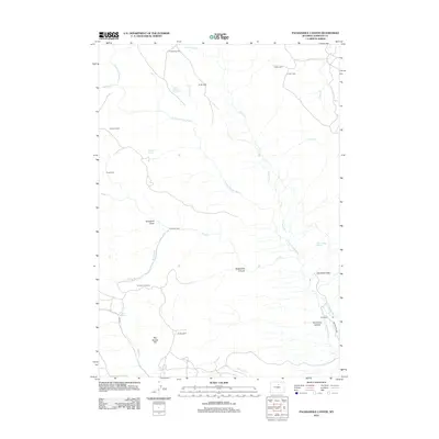
2012 Map of Packsaddle Canyon
USGS Topo · Published 2012About this map
Packsaddle Canyon and the surrounding high country of Johnson County are defined by a network of seasonal camps and ranching outposts along the N Fork Powder River. This 2012 survey illustrates the enduring cattle-rearing geography of the region, where family-named landmarks like Armstrong Cabin, Gibbs Cabin, and the Hat Ranch mark a landscape of low-density habitation. The drainage patterns of Simmons Cr and Pass Cr converge in a complex of draws and canyons, including the distinctively named Snowdrift Draw and Horseshoe Canyon. Higher elevations feature landmarks such as Red Spring Hill, providing essential water sources for livestock at Red Spring and Mud Spring. The infrastructure is primarily composed of ranch roads and irrigation works like the Webb Perkins Ditch, reflecting the local reliance on the river system for agricultural survival in this high-plains environment.
Find a feature on this map
32 named features on this map. Tap any name to fly to it.
Don’t see what you’re looking for? This feature index may not catch every label — zoom into the map to look around manually.
Map Details
Editions of this 2012 Packsaddle Canyon Map
This is the sole edition of this map. No revisions or reprints were ever made.
Other maps of this area

1899 · Cloud peak
USGS Topo · 1:125,000

1900 · Fort McKinney
USGS Topo · 1:125,000

1901 · Cloud Peak
USGS Topo · 1:125,000

1903 · Fort McKinney
USGS Topo · 1:125,000

1955 · Sheridan
USGS Topo · 1:250,000

1955 · Arminto
USGS Topo · 1:250,000

1958 · Sheridan
USGS Topo · 1:250,000

1958 · Arminto
USGS Topo · 1:250,000

1962 · Sheridan
USGS Topo · 1:250,000

1962 · Arminto
USGS Topo · 1:250,000