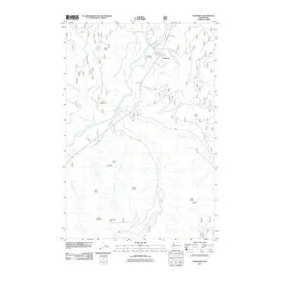
2011 Map of Packwood
USGS Topo · Published 2011About this map
The settlement of Packwood sits at a critical junction where the Cowlitz River meets high mountain terrain. This 2011 survey illustrates the community's layout near the Packwood Airport, with a grid of local roads like Lewis Rd and Skate Creek Rd providing access to the river valley. The landscape is defined by its verticality, rising from the riverbanks toward prominent landmarks such as Skyo Mountain and Hall Ridge.
Find a feature on this map
50 named features on this map. Tap any name to fly to it.
Don’t see what you’re looking for? This feature index may not catch every label — zoom into the map to look around manually.
Map Details
Editions of this 2011 Packwood Map
This is the sole edition of this map. No revisions or reprints were ever made.
Other maps of this area

1924 · Mt Rainier
USGS Topo · 1:96,000

1926 · Steamboat Mtn
USGS Topo · 1:125,000

1928 · Mt Rainier
USGS Topo · 1:125,000

1931 · Steamboat Mtn
USGS Topo · 1:125,000

1950 · Yakima
USGS Topo · 1:250,000

1958 · Yakima
USGS Topo · 1:250,000

1961 · Yakima
USGS Topo · 1:250,000

1962 · Randle
USGS Topo · 1:62,500

1962 · Packwood
USGS Topo · 1:62,500
1965 · Tower Rock
USGS Topo · 1:24,000