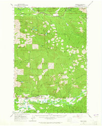
1962 Map of Randle
USGS Topo · Published 1964About this map
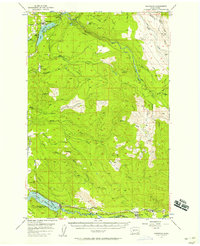
The Cowlitz River valley serves as the central corridor for this early 1960s survey, anchoring the community of Randle and nearby settlements of Surrey and Burton. The map documents a rugged landscape where the southern reaches of Mount Rainier National Park meet the sprawling Snoqualmie National Forest and Gifford Pinchot National Forest. Local infrastructure is concentrated along the river, featuring the White Pass High Sch and the Cora Bridge, while the upland terrain is defined by a dense network of forest service sites like the Nisqually Guard Station and Kilborn Shelter.
Find a feature on this map
88 named features on this map. Tap any name to fly to it.
Don’t see what you’re looking for? This feature index may not catch every label — zoom into the map to look around manually.
Map Details
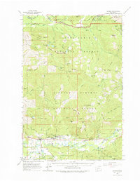
Editions of this 1962 Randle Map
2 editions found
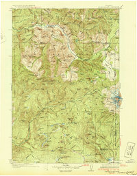
Other maps of this area

1919 · Mount St Helens
USGS Topo · 1:125,000

1924 · Mt Rainier
USGS Topo · 1:96,000

1926 · Steamboat Mtn
USGS Topo · 1:125,000

1928 · Mt Rainier
USGS Topo · 1:125,000
1931 · Steamboat Mtn
USGS Topo · 1:125,000

1937 · Eatonville
USGS Topo · 1:125,000

1950 · Yakima
USGS Topo · 1:250,000

1953 · Hoquiam
USGS Topo · 1:250,000
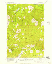
1956 · Mineral
USGS Topo · 1:62,500
1956 · Kapowsin
USGS Topo · 1:62,500