
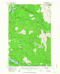
1956 Map of Kapowsin
USGS Topo · Published 1958About this map
Kapowsin sits at the northwestern edge of this landscape, where the Northern Pacific railroad skirts the shores of Kapowsin Lake. This mid-century survey illustrates the industrial and hydroelectric infrastructure of the region, notably the Powerhouse and Electron Res connected by the distinctive Electron Flume Road. The terrain is defined by the deep valleys of the Puyallup River and Nisqually River, which serve as natural corridors for the timber and transport networks of the era.
Find a feature on this map
46 named features on this map. Tap any name to fly to it.
Don’t see what you’re looking for? This feature index may not catch every label — zoom into the map to look around manually.
Map Details
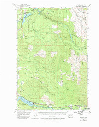
Editions of this 1956 Kapowsin Map
Other maps of this area

1897 · Tacoma
USGS Topo · 1:125,000

1900 · Tacoma
USGS Topo · 1:125,000

1913 · Cedar Lake
USGS Topo · 1:125,000

1924 · Mt Rainier
USGS Topo · 1:96,000

1928 · Mt Rainier
USGS Topo · 1:125,000

1937 · Eatonville
USGS Topo · 1:125,000

1941 · Tanwax Lake
USGS Topo · 1:62,500

1941 · Tacoma South
USGS Topo · 1:62,500

1942 · Lake Tapps
USGS Topo · 1:62,500

1944 · Lake Tapps
USGS Topo · 1:62,500