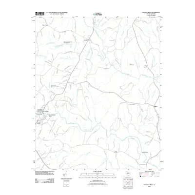
2011 Map of Pacolet Mills
USGS Topo · Published 2011About this map
Pacolet Mills and Central Pacolet anchor the southwestern portion of this landscape, situated along the winding banks of the Pacolet River. The map documents a territory defined by its water resources, featuring several significant dams including the Pacolet Mills Pond Number One Dam and the Pacolet Mills Pond Number Two Dam. These structures suggest the industrial heritage of the area's textile era, while the surrounding terrain is marked by traditional rural settlements like Goucher, White Plains, and Asbury.
Find a feature on this map
122 named features on this map. Tap any name to fly to it.
Don’t see what you’re looking for? This feature index may not catch every label — zoom into the map to look around manually.
Map Details
Editions of this 2011 Pacolet Mills Map
This is the sole edition of this map. No revisions or reprints were ever made.
Other maps of this area

1909 · Gaffney
USGS Topo · 1:62,500

1941 · Spartanburg
USGS Topo · 1:250,000

1947 · Spartanburg
USGS Topo · 1:62,500

1949 · Spartanburg
USGS Topo · 1:62,500

1953 · Spartanburg
USGS Topo · 1:250,000

1953 · Charlotte
USGS Topo · 1:250,000

1954 · Charlotte
USGS Topo · 1:250,000

1959 · Cowpens
USGS Topo · 1:62,500

1960 · Charlotte
USGS Topo · 1:250,000

1960 · Spartanburg
USGS Topo · 1:250,000