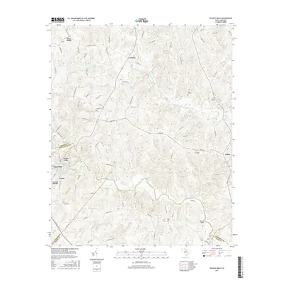
2017 Map of Pacolet Mills
USGS Topo · Published 2017About this map
Pacolet Mills sits at the heart of this landscape where the Pacolet River winds through the Piedmont, defining the boundaries between Spartanburg, Cherokee, and Union counties. The terrain is marked by a dense network of watercourses, including Thicketty Creek and the Pacolet Reservoir, which have historically driven the development of communities like Central Pacolet and Pacolet Park. The map reveals a tapestry of rural life through its numerous family and community landmarks, such as Whig Hill Cem and Mount Zion Cem. Local historians will find significance in the road network connecting established settlements like Goucher and White Plains to the river's edge at Grindall Shoals. The transition from industrial mill sites to small upland hamlets like Asbury illustrates the enduring geographic character of this South Carolina region.
Find a feature on this map
90 named features on this map. Tap any name to fly to it.
Don’t see what you’re looking for? This feature index may not catch every label — zoom into the map to look around manually.
Map Details
Editions of this 2017 Pacolet Mills Map
This is the sole edition of this map. No revisions or reprints were ever made.
Other maps of this area

1909 · Gaffney
USGS Topo · 1:62,500

1941 · Spartanburg
USGS Topo · 1:250,000

1947 · Spartanburg
USGS Topo · 1:62,500

1949 · Spartanburg
USGS Topo · 1:62,500

1953 · Spartanburg
USGS Topo · 1:250,000

1953 · Charlotte
USGS Topo · 1:250,000

1954 · Charlotte
USGS Topo · 1:250,000

1959 · Cowpens
USGS Topo · 1:62,500

1960 · Charlotte
USGS Topo · 1:250,000

1960 · Spartanburg
USGS Topo · 1:250,000