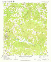
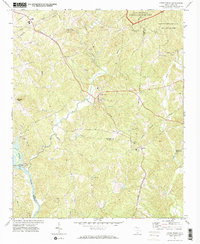
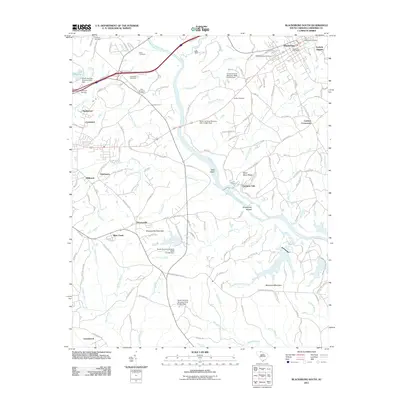
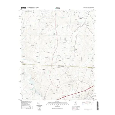
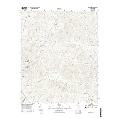
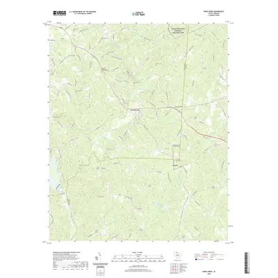
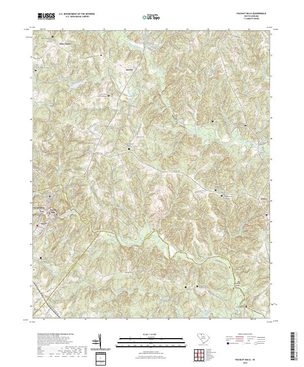
1969 Map of Pacolet Mills
USGS Topo · Published 1979About this map
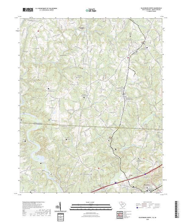
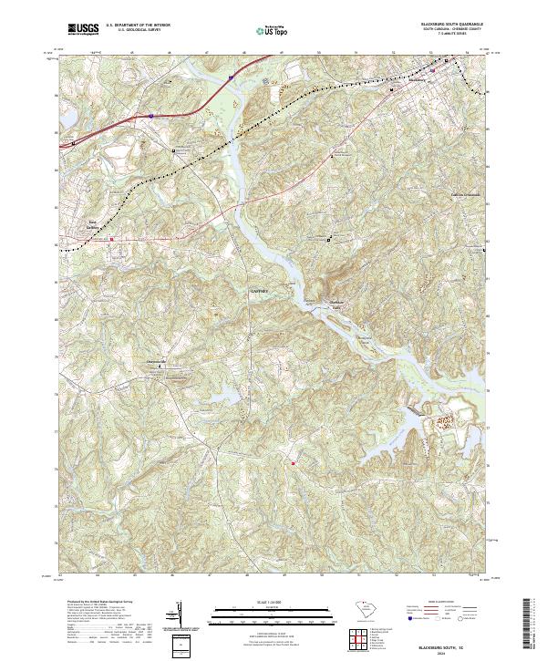
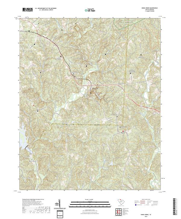
Pacolet Mills sits as the industrial and residential hub of this South Carolina landscape, positioned along a sharp bend of the Pacolet River. The late 1960s terrain is characterized by a dense network of rural churches and mission sites, suggesting a deeply rooted community life across the borders of Cherokee, Spartanburg, and Union counties. Settlements like Goucher and White Plains are connected by a web of creeks, including Thicketty Cr and Goucher Cr, which define the local drainage patterns and historic property lines.
Find a feature on this map
44 named features on this map. Tap any name to fly to it.
Don’t see what you’re looking for? This feature index may not catch every label — zoom into the map to look around manually.
Map Details
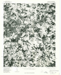
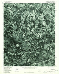
Editions of this 1969 Pacolet Mills Map
2 editions found
Historical Maps of Pacolet Through Time
32 maps found
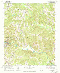
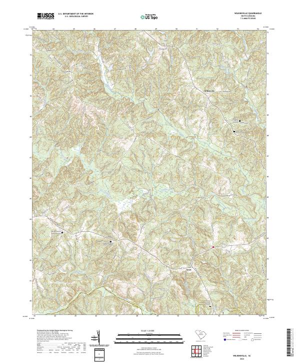
1968 Wilkinsville
Cherokee County, SC
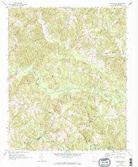
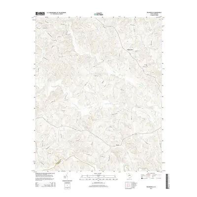
1969 Pacolet Mills
Cherokee County, SC
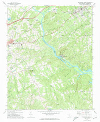
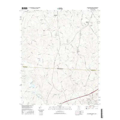
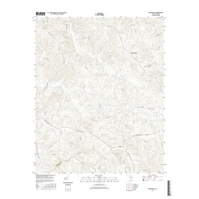
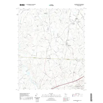
1971 Blacksburg South
Cherokee County, SC
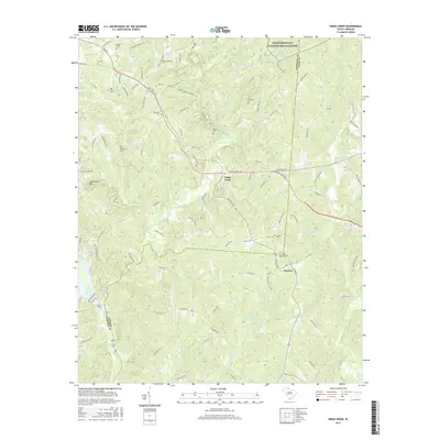
1971 Kings Creek
Cherokee County, SC
1975 Cowpens NE
Cherokee County, SC
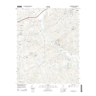
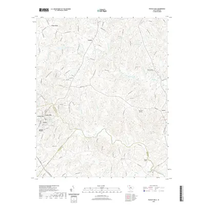
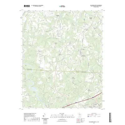
1976 Blacksburg North
Cherokee County, SC
2011 Blacksburg North
Cherokee County, SC
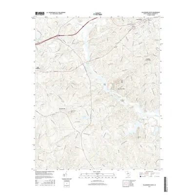
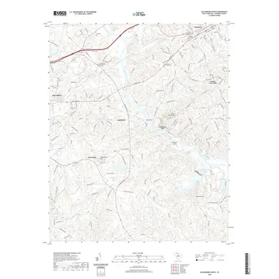
2011 Blacksburg South
Cherokee County, SC
2011 Kings Creek
Cherokee County, SC
2011 Pacolet Mills
Cherokee County, SC
2011 Wilkinsville
Cherokee County, SC
2014 Blacksburg North
Cherokee County, SC
2014 Blacksburg South
Cherokee County, SC
2014 Kings Creek
Cherokee County, SC
2014 Pacolet Mills
Cherokee County, SC
2014 Wilkinsville
Cherokee County, SC
2017 Blacksburg North
Cherokee County, SC
2017 Blacksburg South
Cherokee County, SC
2017 Kings Creek
Cherokee County, SC
2017 Pacolet Mills
Cherokee County, SC
2017 Wilkinsville
Cherokee County, SC
2020 Blacksburg North
Cherokee County, SC
2020 Blacksburg South
Cherokee County, SC
2020 Kings Creek
Cherokee County, SC
2020 Pacolet Mills
Cherokee County, SC
2020 Wilkinsville
Cherokee County, SC
2023 Blacksburg North
Cherokee County, SC
2024 Blacksburg North
Cherokee County, SC
2024 Blacksburg South
Cherokee County, SC
2024 Kings Creek
Cherokee County, SC
2024 Pacolet Mills
Cherokee County, SC
2024 Wilkinsville
Cherokee County, SC