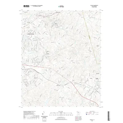
2020 Map of Pacolet
USGS Topo · Published 2020About this map
The Pacolet River winds through this Piedmont landscape, defining a corridor of industrial and residential development that includes the textile communities of Clifton and Glendale. This modern survey reveals the lasting footprint of mill town infrastructure and the extensive reach of Camp Croft in the southwest. The geography is characterized by numerous small tributaries like Lawsons Fork Creek and Richland Cr that cut through the terrain toward the river.
Find a feature on this map
225 named features on this map. Tap any name to fly to it.
Don’t see what you’re looking for? This feature index may not catch every label — zoom into the map to look around manually.
Map Details
Editions of this 2020 Pacolet Map
This is the sole edition of this map. No revisions or reprints were ever made.
Other maps of this area

1909 · Gaffney
USGS Topo · 1:62,500

1941 · Spartanburg
USGS Topo · 1:250,000

1947 · Spartanburg
USGS Topo · 1:62,500

1949 · Spartanburg
USGS Topo · 1:24,000

1949 · Spartanburg
USGS Topo · 1:62,500

1953 · Spartanburg
USGS Topo · 1:250,000

1953 · Charlotte
USGS Topo · 1:250,000

1954 · Charlotte
USGS Topo · 1:250,000

1959 · Cowpens
USGS Topo · 1:62,500

1960 · Charlotte
USGS Topo · 1:250,000