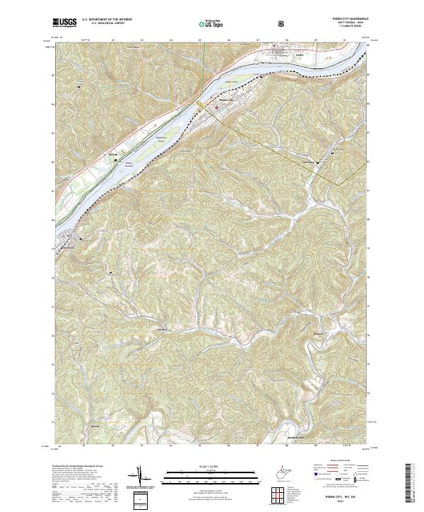
2023 Map of Paden City
USGS Topo · Published 2023About this map
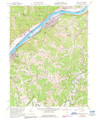
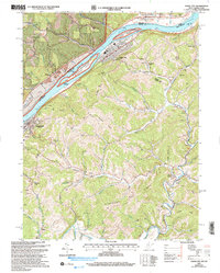
Paden City and Sistersville anchor this reach of the Ohio River valley, where the borders of Wetzel, Tyler, and Monroe counties converge. The river's influence is clear through features like Paden Island and Williamson Island, while the rugged interior is defined by a network of ridges including Starkey Ridge and Thomas Ridge. Several small communities and crossroads such as Pursley, Kidwell, and Van Camp are scattered throughout the hills, connected by winding routes like Paden Fork Rd. Genealogists will find a wealth of burial sites including Locust Grove Cem, Witten Cem, and Stender Cem, offering a detailed look at the settlement patterns of this West Virginia and Ohio borderland. The western portion of the map includes sections of the Wayne National Forest, illustrating the balance between organized township development and protected wilderness.
Find a feature on this map
124 named features on this map. Tap any name to fly to it.
Don’t see what you’re looking for? This feature index may not catch every label — zoom into the map to look around manually.
Map Details
Editions of this 2023 Paden City Map
This is the sole edition of this map. No revisions or reprints were ever made.
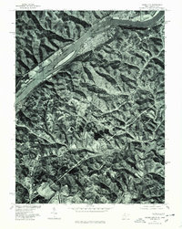
Historical Maps of Kidwell Through Time
5 maps found