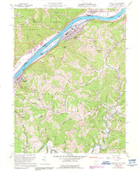
1960 Map of Paden City
USGS Topo · Published 1992About this map
The Ohio River corridor at the border of West Virginia and Ohio reveals a landscape shaped by river transport and industrial development. Paden City and Sistersville anchor the eastern bank, connected by the tracks of the Baltimore and Ohio railroad. This stretch of the river is notable for its large islands, including Paden Island, Williamson Island, and the Witten Towhead. Along the shoreline and within the small settlements like Sardis and Wittens, the map indicates critical infrastructure such as a Waterworks Substation and Sewage Disposal facilities.
Find a feature on this map
77 named features on this map. Tap any name to fly to it.
Don’t see what you’re looking for? This feature index may not catch every label — zoom into the map to look around manually.
Map Details
Editions of this 1960 Paden City Map
4 editions found
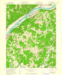
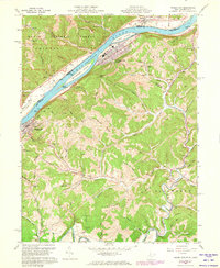
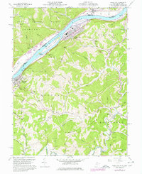
Other maps of this area

1905 · West Union
USGS Topo · 1:62,500

1905 · New Matamoras
USGS Topo · 1:62,500

1906 · Saint Marys
USGS Topo · 1:62,500

1906 · New Martinsville
USGS Topo · 1:62,500

1924 · St Marys
USGS Topo · 1:62,500

1924 · New Martinsville
USGS Topo · 1:62,500

1924 · New Matamoras
USGS Topo · 1:62,500

1924 · West Union
USGS Topo · 1:62,500

1926 · New Martinsville
USGS Topo · 1:62,500

1926 · New Matamoras
USGS Topo · 1:62,500