
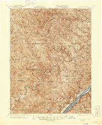
1926 Map of New Matamoras
USGS Topo · Published 1926About this map
New Matamoras and the winding Ohio River corridor anchor this mid-1920s survey of the border between Ohio and West Virginia. The landscape is defined by the deep dissection of the plateau, where hundreds of small runs and forks like Cranenest Fork and Witten Fork create a labyrinth of ridges and hollows. This topography forced a decentralized settlement pattern, with numerous small post offices and hamlets serving isolated rural communities. Researchers can find distinct dual-named locales such as Mechanicsburg Aitch PO and Brownsville Jolly PO, reflecting the local distinction between township names and postal identities.
Find a feature on this map
82 named features on this map. Tap any name to fly to it.
Don’t see what you’re looking for? This feature index may not catch every label — zoom into the map to look around manually.
Map Details
Editions of this 1926 New Matamoras Map
2 editions found
Other maps of this area

1903 · Macksburg
USGS Topo · 1:62,500

1904 · Marietta
USGS Topo · 1:62,500

1905 · West Union
USGS Topo · 1:62,500

1905 · Clarington
USGS Topo · 1:62,500

1905 · New Matamoras
USGS Topo · 1:62,500

1905 · Woodsfield
USGS Topo · 1:62,500

1905 · Macksburg
USGS Topo · 1:62,500

1906 · Saint Marys
USGS Topo · 1:62,500

1906 · New Martinsville
USGS Topo · 1:62,500

1909 · Summerfield
USGS Topo · 1:62,500