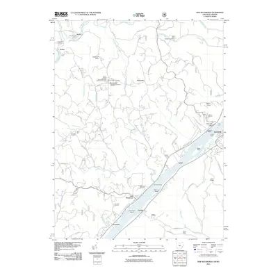
1926 Map of New Matamoras
USGS Topo · Published 1946About this map
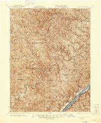
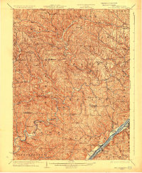
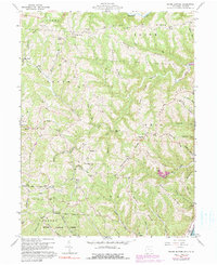
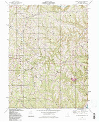
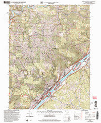
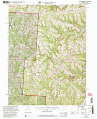
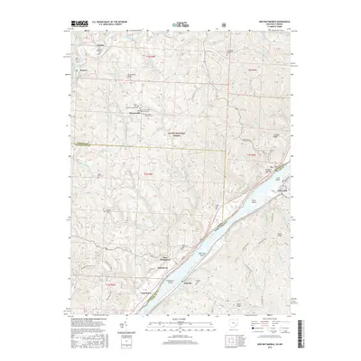
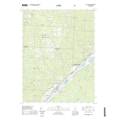
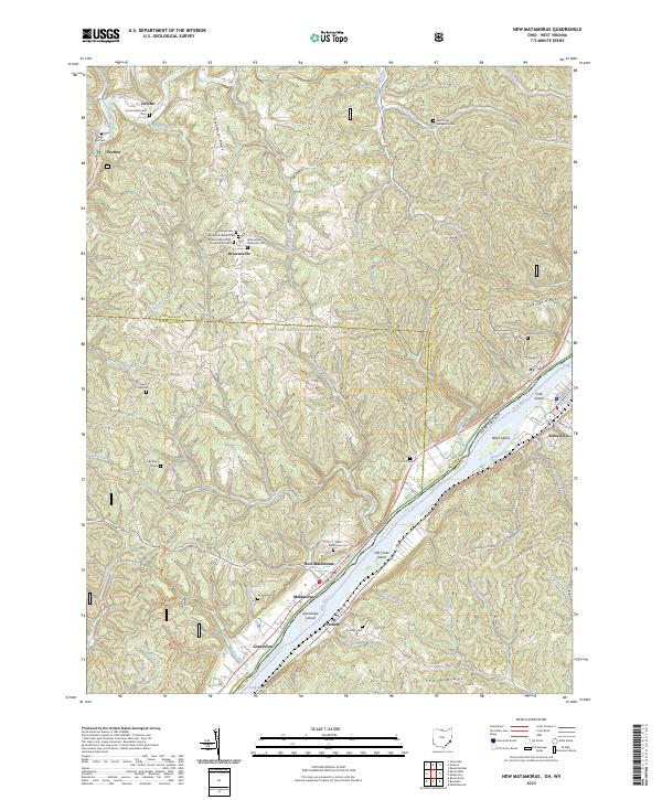
The Ohio River flows past the riverfront towns of New Matamoras and Sistersville in this mid-1920s survey, marking the vital border between Ohio and West Virginia. On the West Virginia side, the Baltimore & Ohio RR follows the shoreline through Friendly, while the Ohio interior is defined by deeply dissected creek valleys and remote settlements. Researchers will find several dual-named locations where the village name differed from the post office designation, including Mechanicsburg (Aitch PO), Brownsville (Jolly PO), and Cochransville (Centerview PO). The landscape is dotted with early 20th-century landmarks of rural life, such as Rinard Mills, the Yellow House, and the Quarry Cem. The network of forks and runs, such as Rich Fork and Wolfpen Run, illustrates a terrain where travel was dictated by the winding waterways of Monroe and Washington Counties.
Find a feature on this map
73 named features on this map. Tap any name to fly to it.
Don’t see what you’re looking for? This feature index may not catch every label — zoom into the map to look around manually.
Map Details
Editions of this 1926 New Matamoras Map
2 editions found
Historical Maps of Grandview Through Time
27 maps found

1905 New Matamoras
Monroe County, OH

1924 New Matamoras
Monroe County, OH
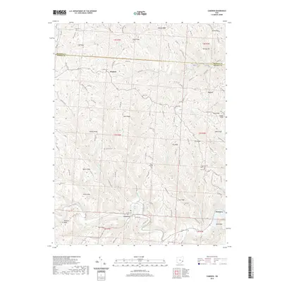
1926 New Matamoras
Monroe County, OH
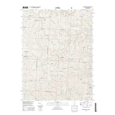
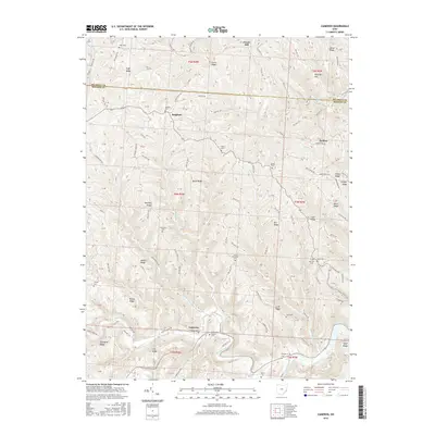
1960 Cameron
Monroe County, OH
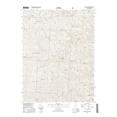
1960 New Matamoras
Monroe County, OH
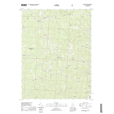
1960 Round Bottom
Monroe County, OH
1975 New Matamoras
Monroe County, OH
1994 Cameron
Monroe County, OH
1994 New Matamoras
Monroe County, OH
1994 Round Bottom
Monroe County, OH
2002 New Matamoras
Monroe County, OH
2002 Round Bottom
Monroe County, OH
2010 Cameron
Monroe County, OH
2011 New Matamoras
Monroe County, OH
2011 Round Bottom
Monroe County, OH
2013 Cameron
Monroe County, OH
2013 New Matamoras
Monroe County, OH
2013 Round Bottom
Monroe County, OH
2016 Cameron
Monroe County, OH
2016 New Matamoras
Monroe County, OH
2016 Round Bottom
Monroe County, OH
2019 Cameron
Monroe County, OH
2019 New Matamoras
Monroe County, OH
2019 Round Bottom
Monroe County, OH
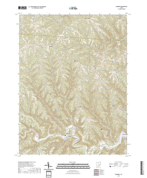
2023 Cameron
Monroe County, OH
2023 New Matamoras
Monroe County, OH
2023 Round Bottom
Monroe County, OH