
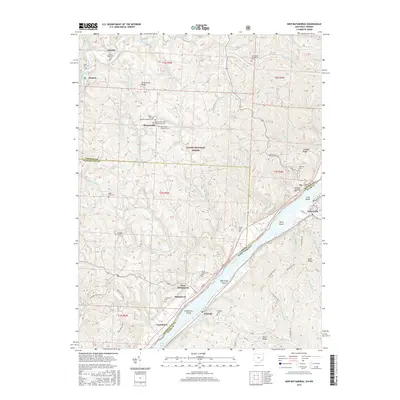
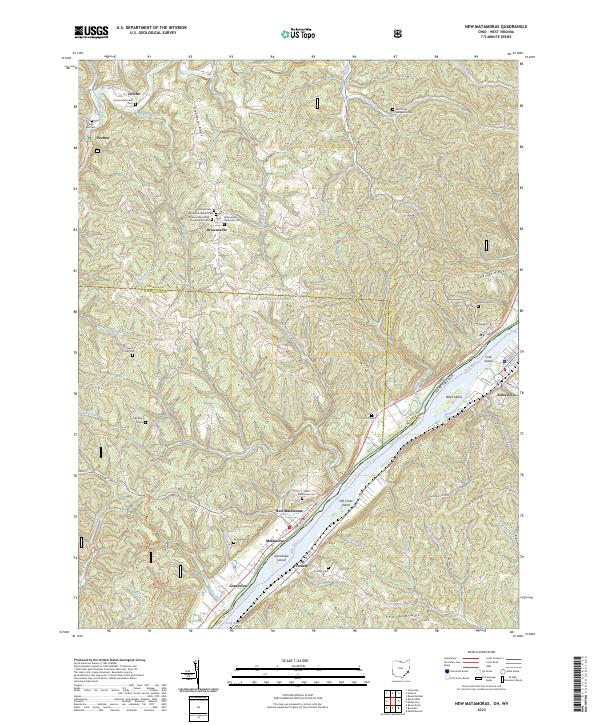
1924 Map of New Matamoras
USGS Topo · Published 1958About this map
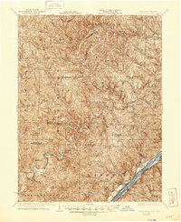
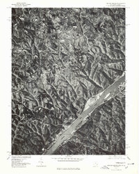
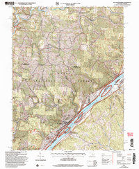
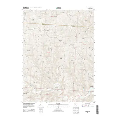
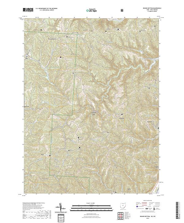
New Matamoras and the rugged riverbank of the Ohio River anchor this 1924 survey of the borderlands between Ohio and West Virginia. The landscape is defined by the deeply etched drainage of the Little Muskingum River and the Muskingum River, where small farming and milling communities emerged along the winding hollows. Evidence of the early 20th-century rural economy is visible in the numerous mills and dual-named post offices such as Mechanicsburg Aitch PO and Brownsville Jolly PO, indicating the localized nature of communication and trade before modern consolidation.
Find a feature on this map
93 named features on this map. Tap any name to fly to it.
Don’t see what you’re looking for? This feature index may not catch every label — zoom into the map to look around manually.
Map Details
Editions of this 1924 New Matamoras Map
This is the sole edition of this map. No revisions or reprints were ever made.
Historical Maps of Grandview Through Time
27 maps found

1905 New Matamoras
Monroe County, OH
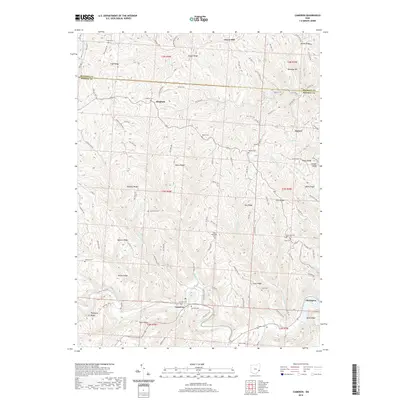
1924 New Matamoras
Monroe County, OH
1926 New Matamoras
Monroe County, OH
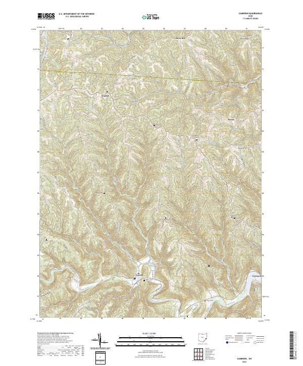
1960 Cameron
Monroe County, OH
1960 New Matamoras
Monroe County, OH
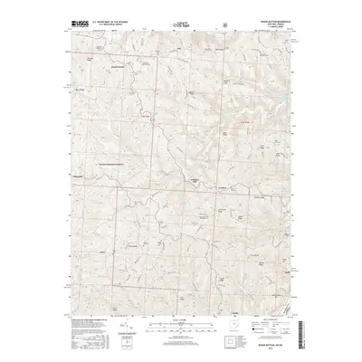
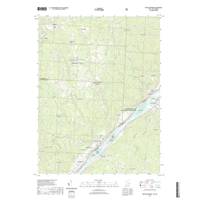
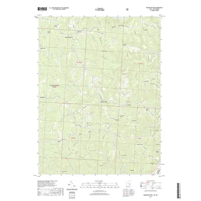
1960 Round Bottom
Monroe County, OH
1975 New Matamoras
Monroe County, OH
1994 Cameron
Monroe County, OH
1994 New Matamoras
Monroe County, OH
1994 Round Bottom
Monroe County, OH
2002 New Matamoras
Monroe County, OH
2002 Round Bottom
Monroe County, OH
2010 Cameron
Monroe County, OH
2011 New Matamoras
Monroe County, OH
2011 Round Bottom
Monroe County, OH
2013 Cameron
Monroe County, OH
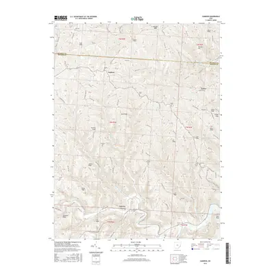
2013 New Matamoras
Monroe County, OH
2013 Round Bottom
Monroe County, OH
2016 Cameron
Monroe County, OH
2016 New Matamoras
Monroe County, OH
2016 Round Bottom
Monroe County, OH
2019 Cameron
Monroe County, OH
2019 New Matamoras
Monroe County, OH
2019 Round Bottom
Monroe County, OH
2023 Cameron
Monroe County, OH
2023 New Matamoras
Monroe County, OH
2023 Round Bottom
Monroe County, OH