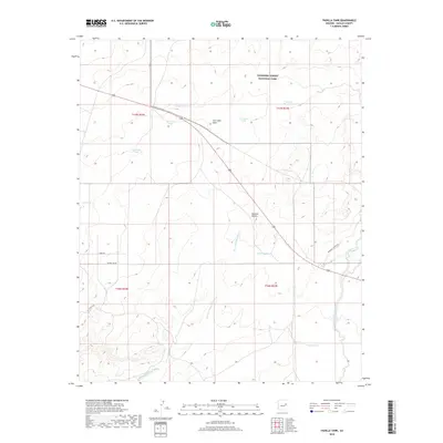
2018 Map of Padilla Tank
USGS Topo · Published 2018About this map
Petrified Forest National Park occupies the northern reaches of this high desert landscape in Navajo County, where a network of ephemeral washes and livestock tanks defines the rural infrastructure. The terrain is characterized by broad drainages like Mexican Hollow Wash and Cottonwood Wash, which flow toward the larger watershed system during seasonal rains. Human activity in the area is centered on range management, evidenced by numerous named water sources such as Padilla Tank, Salt Well Tank, and the descriptively named Broken Dam Tank. Transportation is limited to a few established corridors, including Petrified Forest Rd and Pottsville Rd, while a significant utility path is marked by Power Line Rd cutting across the southwestern quadrant. This map captures the intersection of federal protected lands and the practical requirements of ranching in a dry environment.
Find a feature on this map
22 named features on this map. Tap any name to fly to it.
Don’t see what you’re looking for? This feature index may not catch every label — zoom into the map to look around manually.
Map Details
Editions of this 2018 Padilla Tank Map
This is the sole edition of this map. No revisions or reprints were ever made.
Other maps of this area

1886 · St Johns
USGS Topo · 1:250,000

1886 · Holbrook
USGS Topo · 1:250,000

1892 · St Johns
USGS Topo · 1:250,000

1893 · Holbrook
USGS Topo · 1:250,000

1912 · Petrified Forest
USGS Topo · 1:62,500

1954 · Holbrook
USGS Topo · 1:250,000

1954 · Saint Johns
USGS Topo · 1:250,000

1955 · Petrified Forest
USGS Topo · 1:62,500

1955 · Adamana 3 NE
USGS Topo · 1:24,000

1955 · St. Joseph 1 NE
USGS Topo · 1:24,000