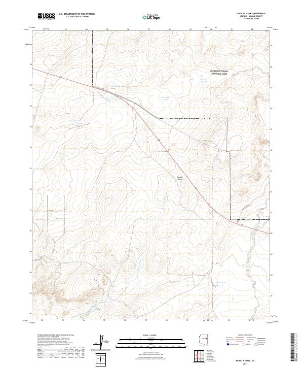
2021 Map of Padilla Tank
USGS Topo · Published 2021About this map
The northern reaches of Petrified Forest National Park dominate the northeastern portion of this landscape, where the high desert terrain is defined by a complex system of seasonal drainages and stock tanks. Water management is central to the land's history here, evidenced by numerous named collection points such as Padilla Tank, Dobell Tank, and Broken Dam Tank. These features, along with the meandering Mexican Hollow Wash and Carr Lake Draw, illustrate the historic reliance on surface water for ranching in this corner of Navajo County.
Find a feature on this map
21 named features on this map. Tap any name to fly to it.
Don’t see what you’re looking for? This feature index may not catch every label — zoom into the map to look around manually.
Map Details
Editions of this 2021 Padilla Tank Map
This is the sole edition of this map. No revisions or reprints were ever made.
Other maps of this area

1886 · St Johns
USGS Topo · 1:250,000

1886 · Holbrook
USGS Topo · 1:250,000

1892 · St Johns
USGS Topo · 1:250,000

1893 · Holbrook
USGS Topo · 1:250,000

1912 · Petrified Forest
USGS Topo · 1:62,500

1954 · Holbrook
USGS Topo · 1:250,000

1954 · Saint Johns
USGS Topo · 1:250,000

1955 · Petrified Forest
USGS Topo · 1:62,500

1955 · Adamana 3 NE
USGS Topo · 1:24,000

1955 · St. Joseph 1 NE
USGS Topo · 1:24,000