
1951 Map of Page Ranch
USGS Topo · Published 1951About this map
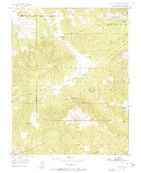
Old Irontown (Historic Site) Ruins stand as a silent testament to early industrial efforts in southern Utah, situated along the banks of Little Pinto Creek. This mid-century survey captures a landscape defined by the extraction of iron ore and the persistence of remote ranching outposts. To the northeast, the Union Pacific railroad services a cluster of heavy industrial sites including the Columbia Steel Mine, the Colorado Mine, and a significant Blowout Pit on Iron Mountain.
Find a feature on this map
35 named features on this map. Tap any name to fly to it.
Don’t see what you’re looking for? This feature index may not catch every label — zoom into the map to look around manually.
Map Details
Editions of this 1951 Page Ranch Map
2 editions found
Other maps of this area

1885 · St. George
USGS Topo · 1:250,000

1891 · St. George
USGS Topo · 1:250,000

1950 · Iron Mountain
USGS Topo · 1:62,500

1950 · Stoddard Mtn
USGS Topo · 1:24,000

1950 · Silver Peak
USGS Topo · 1:24,000

1950 · Desert Mound
USGS Topo · 1:24,000

1950 · Page Ranch
USGS Topo · 1:24,000

1951 · Silver Peak
USGS Topo · 1:24,000
1951 · Desert Mound
USGS Topo · 1:24,000

1951 · Stoddard Mtn
USGS Topo · 1:24,000