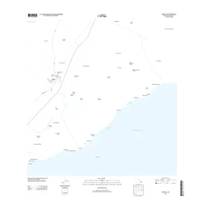
2013 Map of Pahala
USGS Topo · Published 2013About this map
Pāhala and the nearby Keāiwa Camp represent the primary human presence on this portion of the Island of Hawai'i, where the local economy transition from its plantation roots is visible in the grid of residential streets like Ohia St and Ilima St. The landscape is dominated by the massive Keāiwa Lava Flow of 1823, which cuts a broad path toward the Pacific Ocean, illustrating the volcanic forces that continue to shape the Ka‘ū District.
Find a feature on this map
57 named features on this map. Tap any name to fly to it.
Don’t see what you’re looking for? This feature index may not catch every label — zoom into the map to look around manually.
Map Details
Editions of this 2013 Pahala Map
This is the sole edition of this map. No revisions or reprints were ever made.
Other maps of this area

1921 · Kilauea
USGS Topo · 1:62,500

1923 · Pahala
USGS Topo · 1:62,500

1924 · Kilauea
USGS Topo · 1:62,500

1924 · Honuapo
USGS Topo · 1:62,500

1928 · Mauna Loa
USGS Topo · 1:62,500

1954 · Hawaii South
USGS Topo · 1:250,000

1959 · Hawaii South
USGS Topo · 1:250,000

1961 · Hawaii South
USGS Topo · 1:250,000

1962 · Hawaii South
USGS Topo · 1:250,000
1962 · Naalehu
USGS Topo · 1:24,000