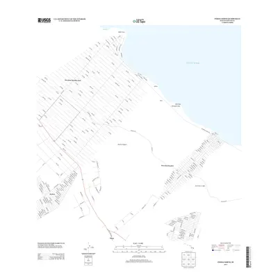
2013 Map of Pahoa North
USGS Topo · Published 2013About this map
Island of Hawai'i's Puna District coastline is defined by a rigorous grid of residential development and volcanic history. The vast subdivision of Hawaiian Paradise Park dominates the northwest, its numbered avenues and named streets like Paradise Dr and Kilika St stretching from the interior down toward the rocky shore at Kaloli Point. This orderly geometry contrasts sharply with the geological record of the Lava Flow of 1840, which remains a prominent feature of the landscape south of the Hawaiian Beaches settlement. Near the southern edge of the quadrangle, the community of Pāhoa serves as a local hub, while the residential pocket of Ainaloa occupies the southwestern corner. Along the Pacific Ocean, coastal landmarks such as Mokuopihi Point, Opihi Rock, and Auwae mark the interface between the volcanic land and the sea, illustrating the ongoing settlement of this dynamic shoreline.
Find a feature on this map
184 named features on this map. Tap any name to fly to it.
Don’t see what you’re looking for? This feature index may not catch every label — zoom into the map to look around manually.
Map Details
Editions of this 2013 Pahoa North Map
This is the sole edition of this map. No revisions or reprints were ever made.
Other maps of this area

1917 · Hilo
USGS Topo · 1:62,500

1922 · Puna
USGS Topo · 1:62,500

1924 · Makuu
USGS Topo · 1:62,500

1924 · Puna
USGS Topo · 1:62,500

1924 · Kalapana
USGS Topo · 1:62,500

1932 · Hilo
USGS Topo · 1:62,500

1954 · Hawaii South
USGS Topo · 1:250,000

1954 · Hawaii North
USGS Topo · 1:250,000

1959 · Hawaii South
USGS Topo · 1:250,000

1959 · Hawaii North
USGS Topo · 1:250,000