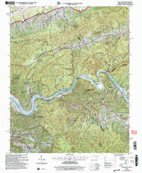
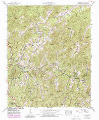
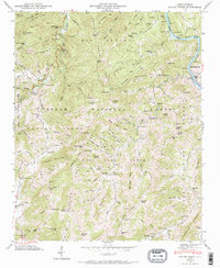
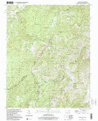
2003 Map of Paint Rock
USGS Topo · Published 2004This historical map portrays the area of Paint Rock in 2003, primarily covering Madison County as well as portions of Madison County and Tennessee. Featuring a scale of 1:24000, this map provides a highly detailed snapshot of the terrain, roads, buildings, counties, and historical landmarks in the Paint Rock region at the time. Published in 2004, it is the sole known edition of this map.
Map Details
Editions of this 2003 Paint Rock Map
This is the sole edition of this map. No revisions or reprints were ever made.
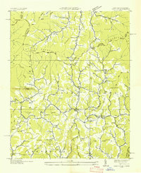
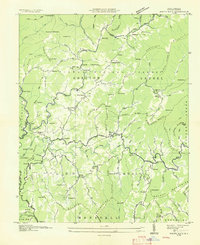
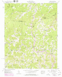
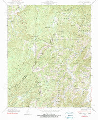
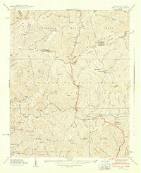
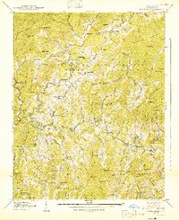
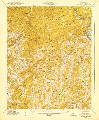
Historical Maps of Madison County Through Time
13 maps found

1935 Lemon Gap
Madison County, NC

1935 Spring Creek
Madison County, NC
1936 Sams Gap
Madison County, NC
1936 White Rock
Madison County, NC
1939 Sams Gap
Madison County, NC
1939 White Rock
Madison County, NC
1940 Lemon Gap
Madison County, NC
1940 Sams Gap
Madison County, NC
1940 White Rock
Madison County, NC
1946 Spring Creek
Madison County, NC
1947 Spring Creek
Madison County, NC
1997 Lemon Gap
Madison County, NC
2003 Paint Rock
Madison County, NC